Hands-On Geography Activities for Ages 4-10
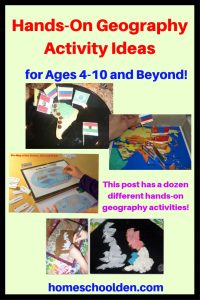
There are so many fun things you can do with your kids to help them gain an understanding of the geography of our amazing world! Here are some of the geography activities we use in our homeschool.
Over the years we have made maps…
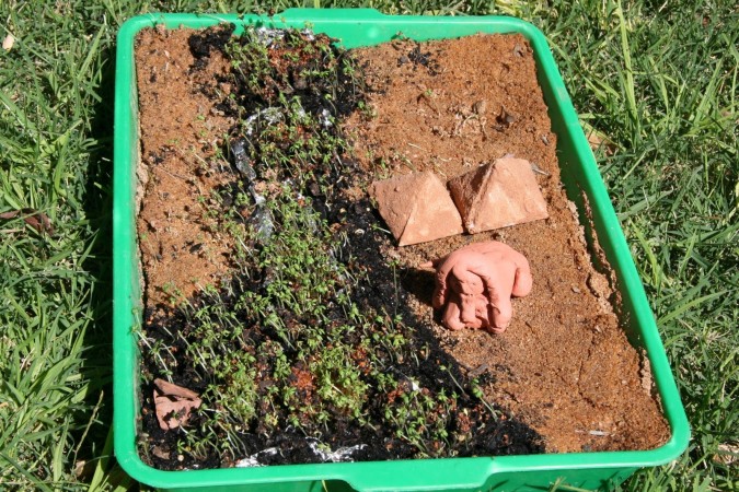
with sand, dirt and grass seed like our Nile River Valley
Out of clay, like our Ancient Greece (and Mediterranean Sea) map (Ancient Greece Geography Project, Ancient Greece Geography Project, Part 2)
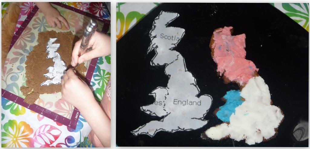
Out of graham crackers, like our map of Britain
and out of cookie dough like our map of South America (with the Andes as chocolate chips!)
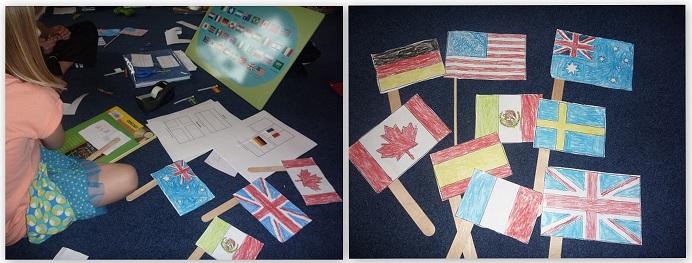
You can study and color world flags
And use world flags with pin maps, like we did with the countries of Asia
and with the countries in Africa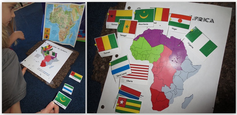
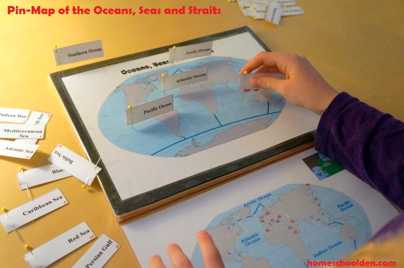
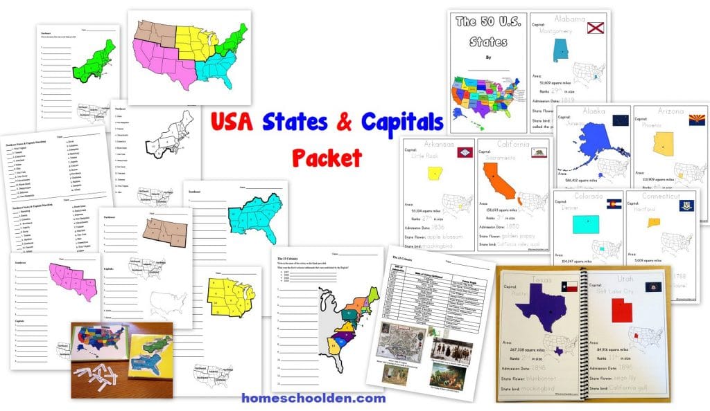
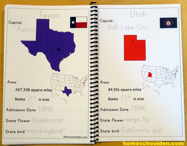
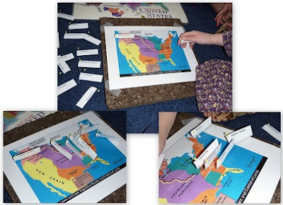
One year we studied American history. We also spent time learning the U.S. States and Capitals. You can find out more about our USA States and Capitals Packet here:
You can use geography puzzles:
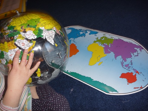
You can toss a globe around and identify the continent (or country) your thumb lands on when you catch it:
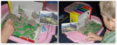
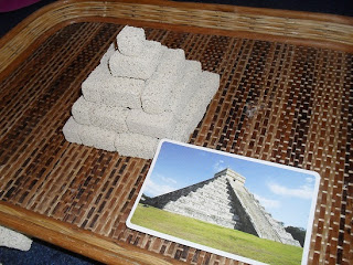
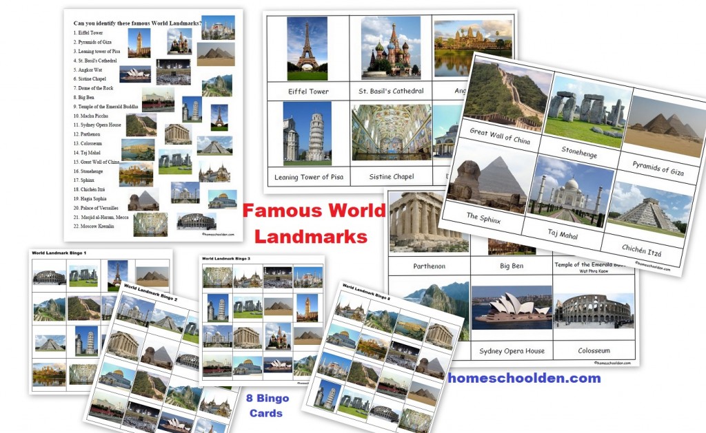
You can study famous landmarks and make replicas
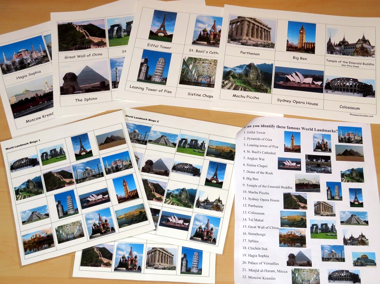
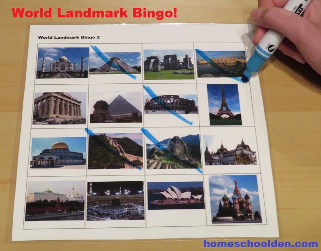
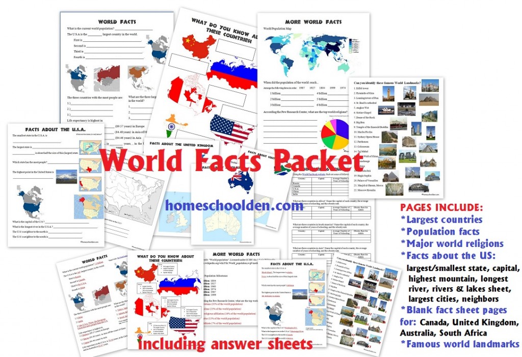
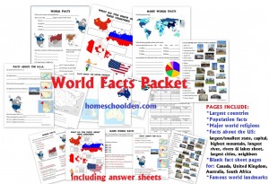
You might want to see the World Landmarks materials we have in our World Facts Packet! The kids loved playing World Landmark Bingo!
You can locate famous rivers and lakes:
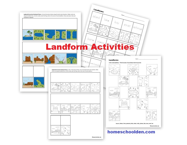
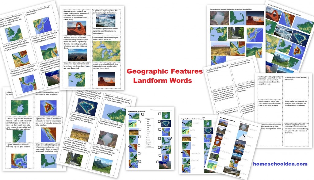
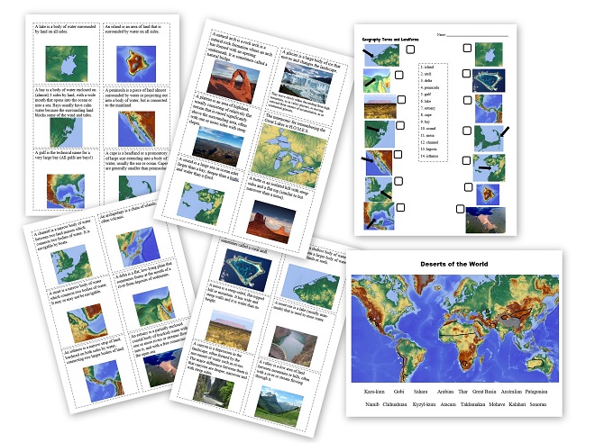
And you can study all the geography land form (and water form) terms like lakes, peninsulas, isthmus, bay and create them at home:
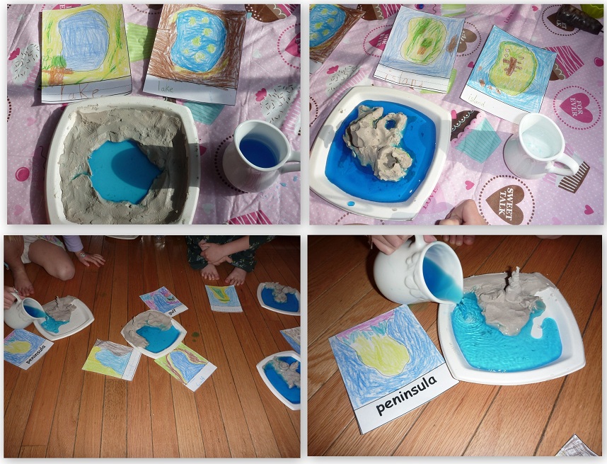
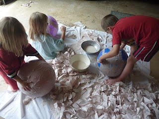
You can make your own world globe!
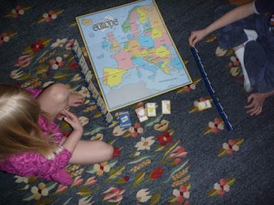
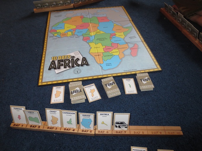
You can play board games like Ten Days Across Europe (or Africa or Asia)
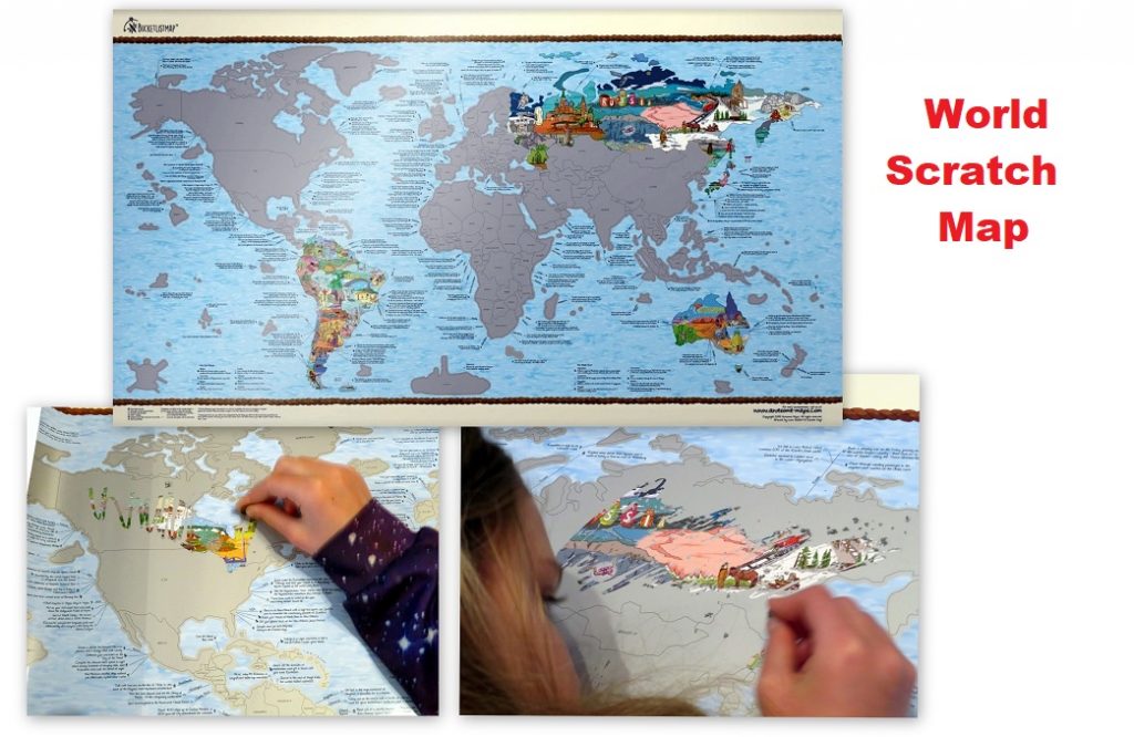
Scratch Maps:
World Scratch Maps
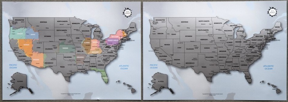
If you are studying a lot of countries in your homeschool, you might enjoy this Scratch Off Bucket List World Map. (affiliate link) My kids really loved doing this!! Just note that you cannot scratch off individual U.S. states with the map below. We did this and loved the world landmarks that are revealed!
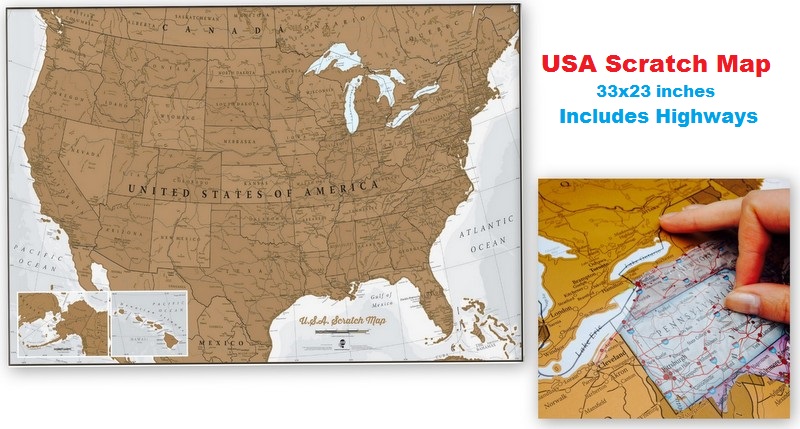
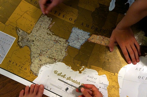
USA Scratch Map: When we traveled out West, we bought a fun USA scratch map (affiliate link) that the we pulled out and scratched off as we drove from state to state. This would be fun if you’re studying the US states.
This was the USA scratch map (affiliate link) that we used as we made our way across the country. I decided to go with a larger (almost poster size map 33inches x 23 inches because it also had the highways. I thought that would be a bit more fun and figured we would keep our scratch map in a poster tube.
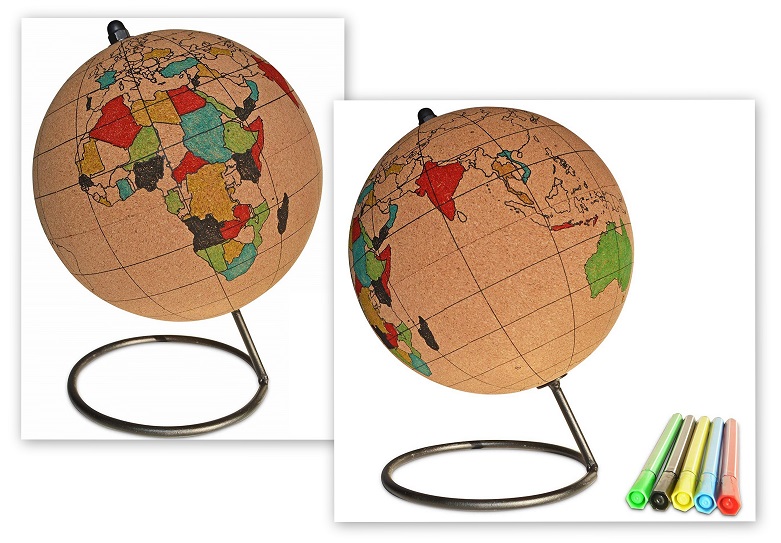
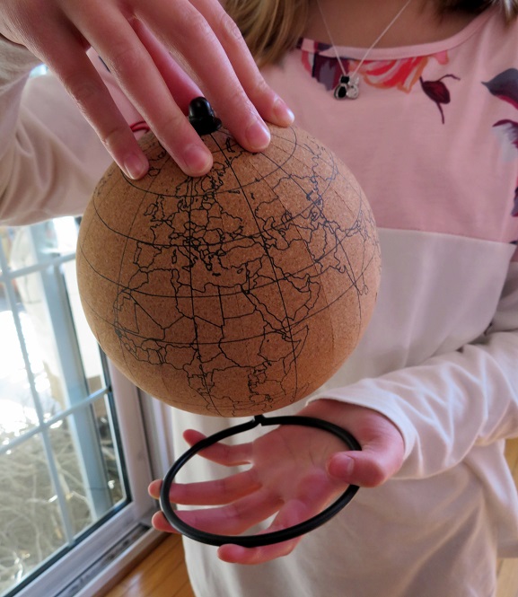
Cork Globe Pin Map: Recently, we bought a globe with countries that you can color in or place pins in. This will be useful to us because we are studying 20th century history this year and really need to be able to identify countries all around the world. You’ll find the Globe Pin Map here: (affiliate link):
World Foods:
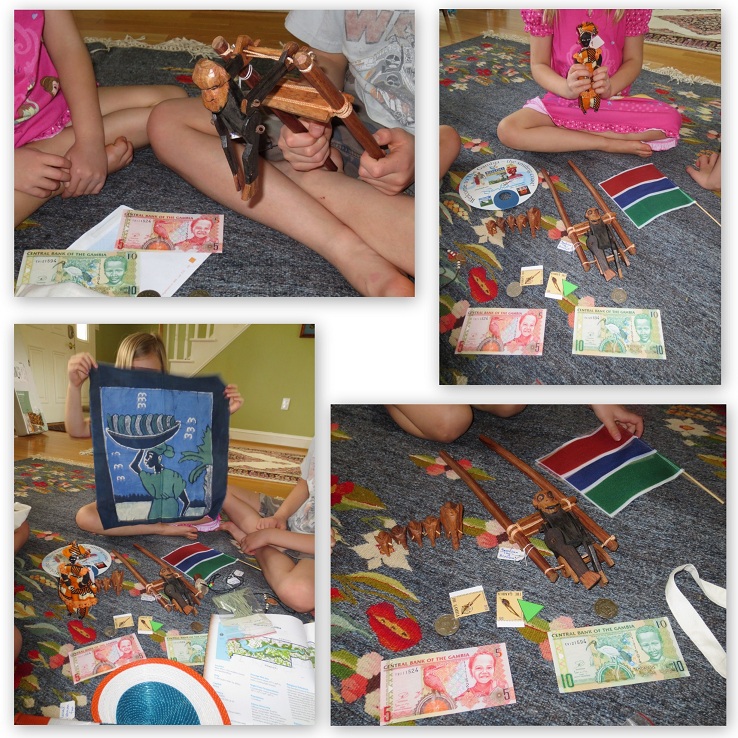
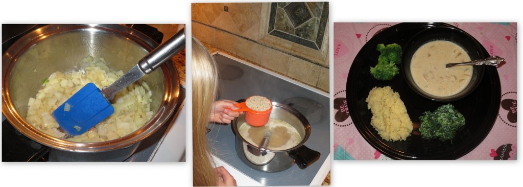
You can make food from different places around the world… like our almond soup when we tried different foods from Africa
or pretzels from Germany (We used Erica’s wonderful recipe from Confessions of a Homeschooler.)
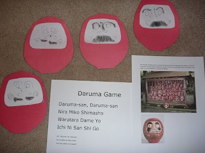
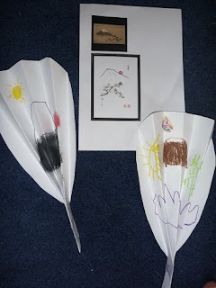
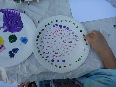
You can study a specific country and learn all about their history, culture and music like when we studied Japan, India,
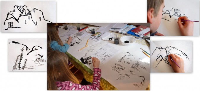
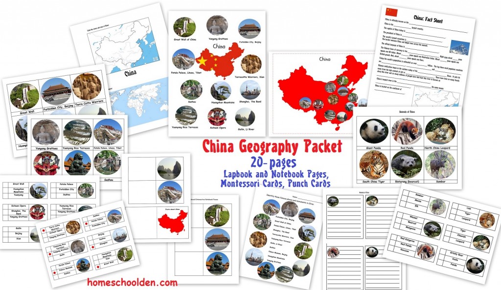
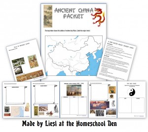
China – where we did an activity on Chinese Brush Painting
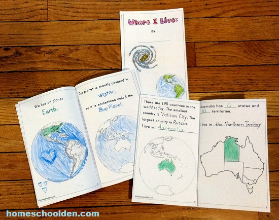
and activities related to Australia
You can try to arrange a country box exchange, which we’ve done with homeschoolers from or living in Singapore, France, different states in the U.S.
Click here to save this for later on Pinterest:
You might be interested in these related posts:
Each year I go over some major world facts with the kids… things like
- What are the most populated countries?
- What are the largest countries ?
- What are the longest rivers? tallest mountains?
- And, we go over similar information about the U.S.: What are the largest and smallest states?
- Which state has the most people?
- What is the longest river in the U.S.?
- What are the major mountain ranges?
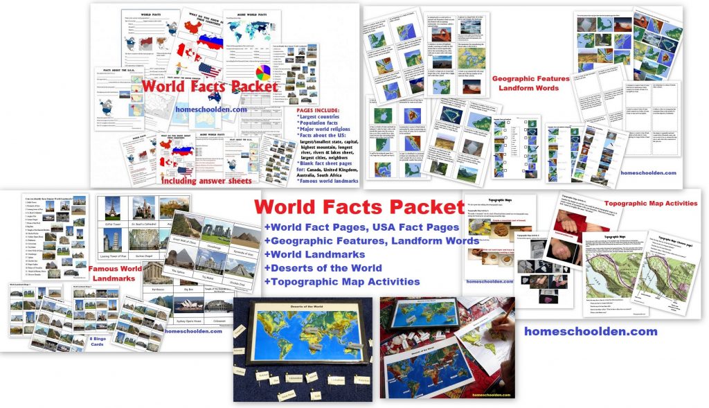
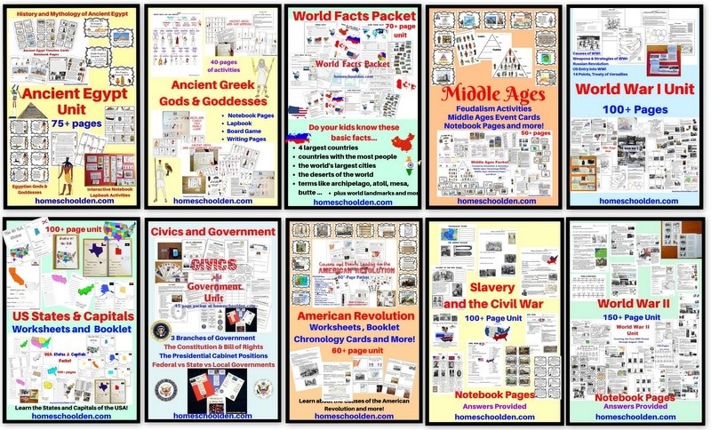
You might want to check out our World Facts Packet with material I go over with the kids each year…
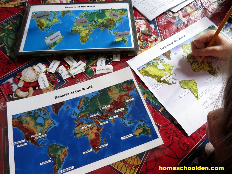
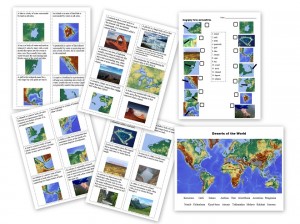
Plus, also in the World Facts Packet is a new section on Geographic Features and Land Forms. Plus, we also studied the deserts of the world as well as famous world landmarks! These are all included in the World Facts Packet is now over 70+ pages!!
Famous World Landmark: Montessori Cards, Worksheet, Bingo Cards
Free Europe Flag Map
You might be interested in our free flag map printable with the flags of Europe. One of the maps is blank and one has the various European flags so younger students can match the country and its flag .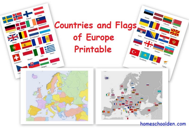
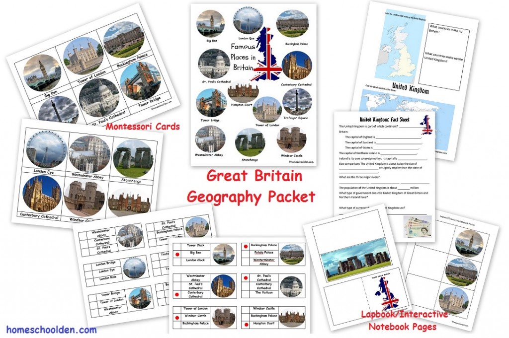
Britain – Geography and Famous Landmarks Packet (Currently Free to Download)
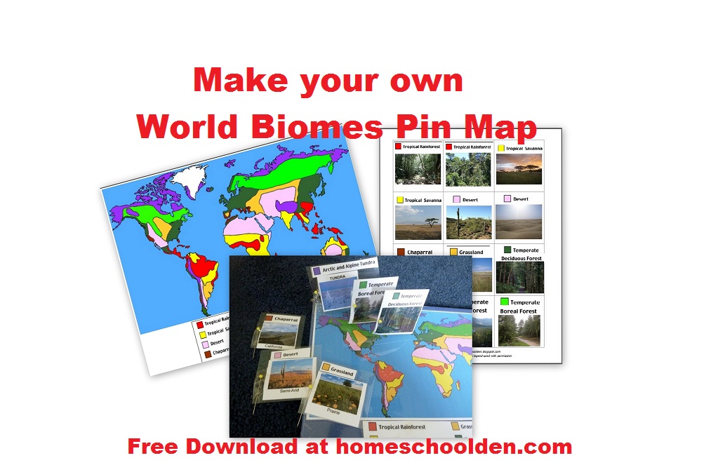
Here is the printable I made for making your own World Biomes pin map:
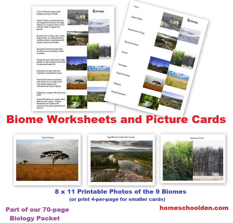
Biomes Worksheets & Picture Cards
We also sing a lot of educational songs in our homeschool including geography songs.
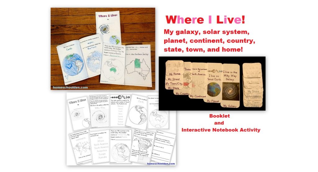
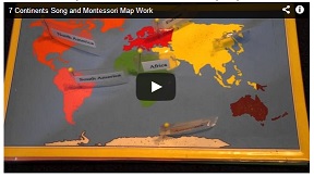
Here is the post with the kids singing the 7-continents song and the Montessori style pin map you can download and make:
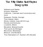
We also have learned the Fifty States that Rhyme Song: You can listen to the 50 States That Rhyme Song here.
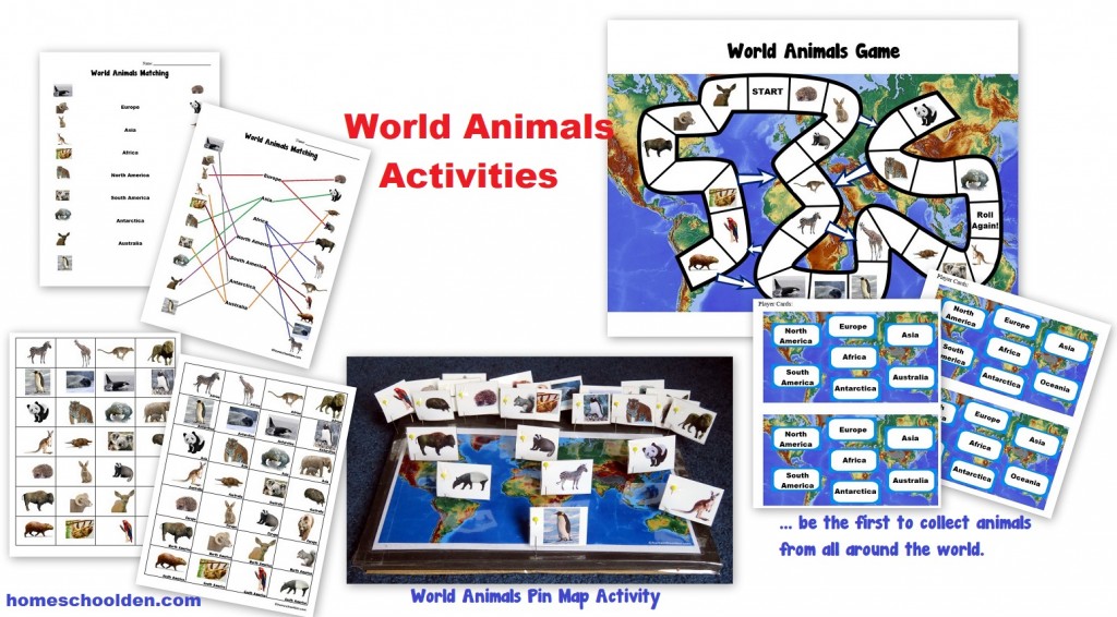
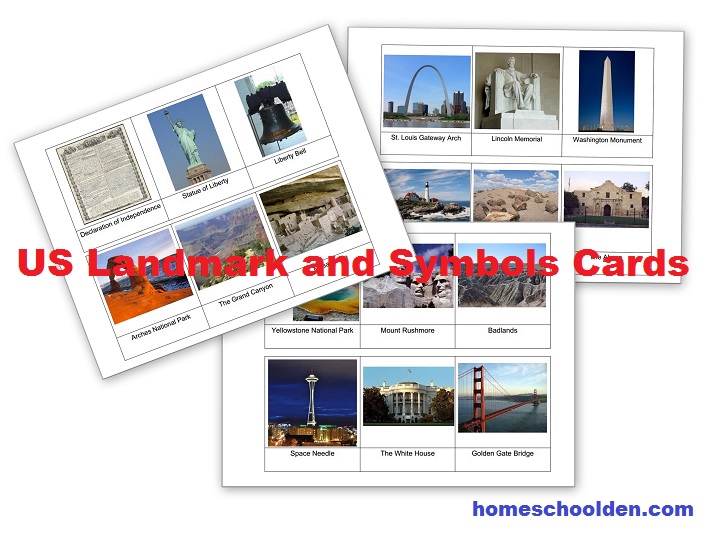
Don’t miss this post about using the free Montessori US landmark cards I made (Grand Canyon, Statue of Liberty, etc.) and how we used them.
Hopefully you’ve found an idea or two that you can use in your homeschool or classroom to make geography hands-on and fun!
See you again soon here or over at our Homeschool Den Facebook Page! Don’t forget to Subscribe to our Homeschool Den Newsletter. You might also want to check out some of our resources pages above (such as our Science, Language Arts, or History Units Resource Pages) which have links to dozens of posts. You might want to join our free Homeschool Den Chat Facebook group. Don’t forget to check out Our Store as well.
Happy Homeschooling! ~Liesl
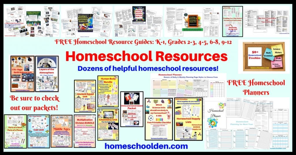
P.S. If you are new to our blog, you might want to check out these free resource guides, which I put together to help answer questions like… Where do I start? How do I know what to teach? What units did you kids do when they were in __ Grade?
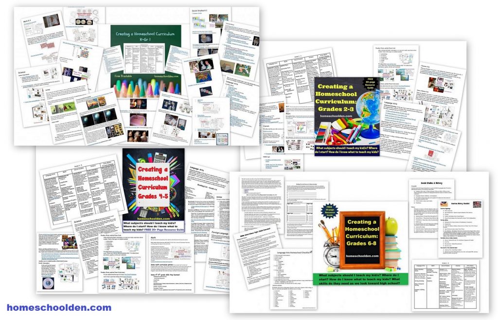
Creating Your Own Homeschool Curriculum: These are some free resources I made that might be helpful as you create your own homeschool plans. These are somewhere between 30 and 50 pages and are FREE to download: FREE Curriculum Resource Guides












Hey! Thanks for all the wonderful ideas and free downloads! Love the activities!
Thanks so much for the kind message, Tanushri! I’m glad you have found some useful resources. As you can tell, we’ve had a lot of fun along the way. 🙂 Enjoy your homeschool journey! ~Liesl