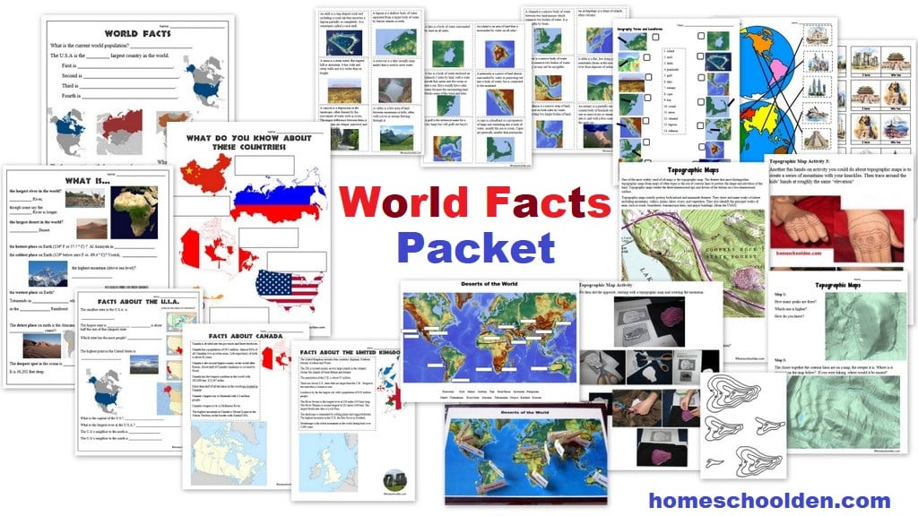
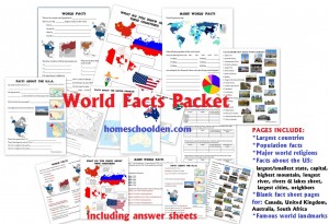
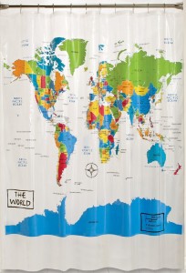
World Facts Packet
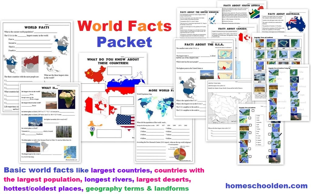
- What are the four largest countries? (Russia, Canada, the U.S.A., China)
- What countries have the most people? (China, India, the U.S.A.)
- What are the world’s largest cities? (Tokyo, Jakarta, Seoul)
- Which countries have the longest life expectancy? (Monaco, Macau, Japan)
- What are the major religions?
The packet has information about population growth. When did the world hit 1 billion, 2, billion, 3 billion… up to its current 7+billion population size? The kids have to sort the dates and will see how while we reached a population of 1 billion in 1804, we quickly grew from 4 billion (1974), 5 billion (1987), 6 billion (1999) and 7 billion in 2011 and 7.8 billion in 2021! Wow!!
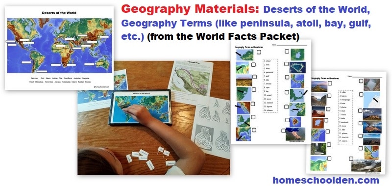
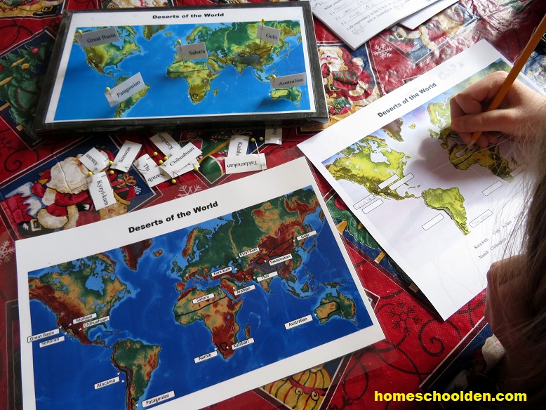
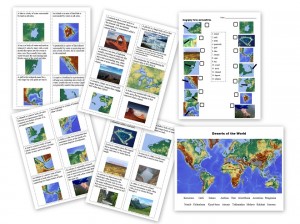
There is also a page with some basic world facts. What is… the longest river? the largest desert? the hottest and coldest places on Earth? the driest place in the world? the tallest mountain? the deepest place in the ocean?
Since we live in the U.S., I’m also going to have the kids go over some basic facts about America.
- What is the U.S. capital? Washington, D.C.
- What is the smallest state? Rhode Island
- Biggest state? Alaska
- What is the name of the tallest mountain in the U.S.? Mt. McKinley
- What is the longest river? Mississippi River
- There is also a sheet so the kids can locate some geographic features of the US: the larger rivers, the oceans, Gulf of Mexico, and the Great Lakes
They should know a lot of this from our Civics Unit last year. 😉 I know we have a number of readers/homeschoolers in other English speaking countries so I included pages for the United Kingdom, Australia, Canada and South Africa for those of you living there… or for those who want to explore those countries in more depth! 🙂
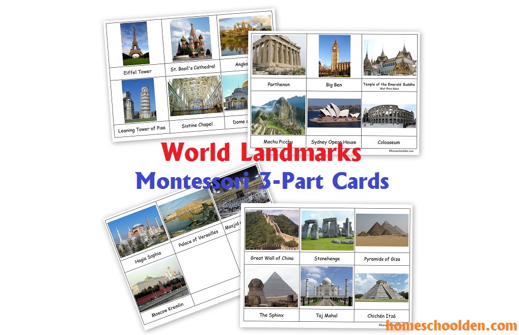
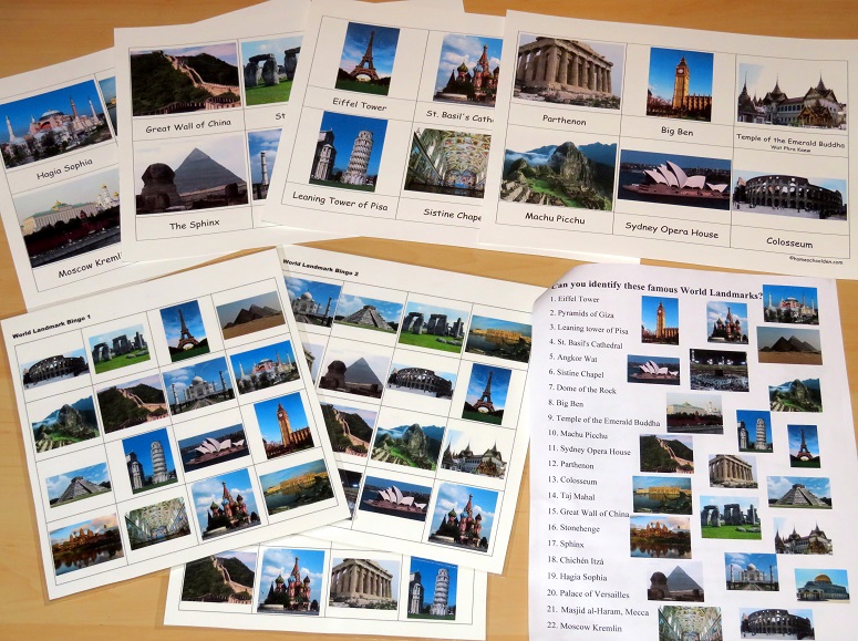
During our Civics Unit we went over some of the U.S. landmarks (like the Statue of Liberty, Yellowstone, Grand Canyon, etc.). This fall we’ll be going over some of the famous world landmarks: Eiffel Tower, Pyramids of Giza, Leaning Tower of Pisa, St. Basil’s Cathedral, Angkor Wat, Sistine Chapel, Dome of the Rock, Big Ben, Chichén Itzá… just to name a few (there are 22).
Our World Facts packet is now 125+ pages (including answer pages). This packet is $6.99. This is a pdf download. You will receive a download link from SendOwl (the automatic delivery service I use) to your PayPal email address.
Feel free to email me if you have any questions!! ~Liesl
World Facts Packet
$6.99Don’t forget to check your PayPal email address for the download link!
When you click on the Buy Now button below, it will take you to Paypal. Upon receipt of payment you will immediately get a link to download this pdf in your browser. You will also receive an email from SendOwl Downloads which will give you a link to download. Remember, you do not have to have a Paypal account to make a payment. Just click on the line that says, “Pay with a debit or credit card or PayPal credit.” That gives you the option of paying with a credit card even if you don’t have an actual Paypal account.
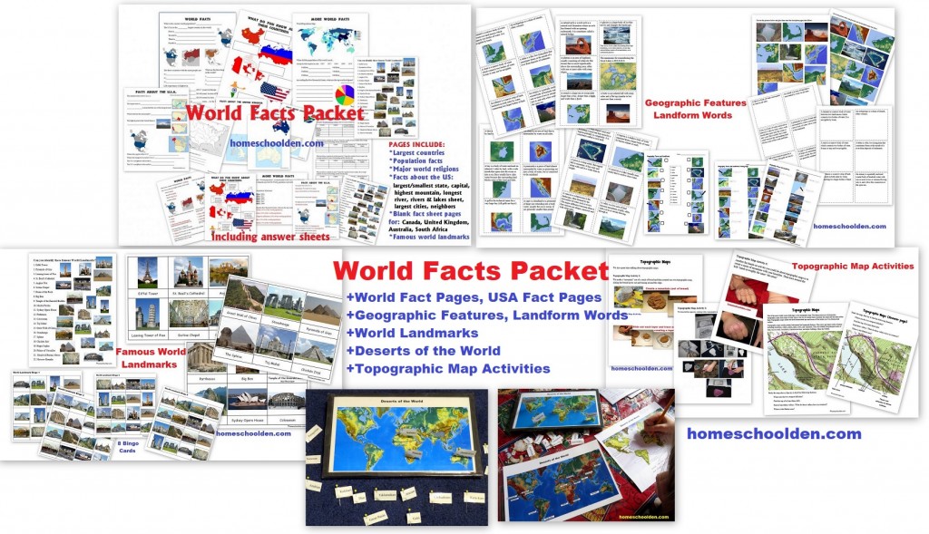
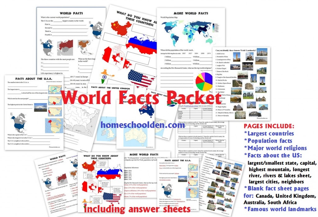
AGAIN, PAGES INCLUDE:
*Largest countries
*Population facts
*Major world religions
*Facts about the World: longest river, largest desert, wettest and driest places on Earth, tallest mountain, deepest spot in the ocean, etc.
*Facts about the US: largest/smallest state, capital, highest mountain, longest river, rivers & lakes sheet, largest cities, neighbors
*Blank fact sheet pages for: Canada, United Kingdom, Australia, South Africa
*Famous world landmarks
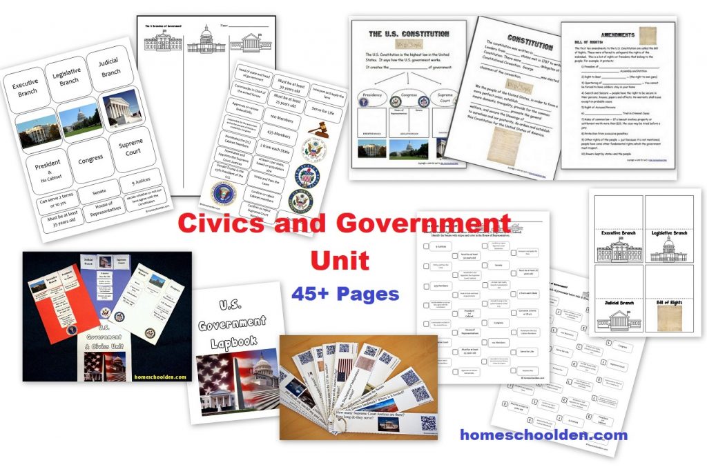
We also have a packet I made for the Civics and Government Unit that we did last spring.
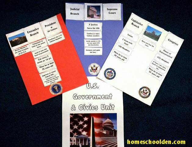
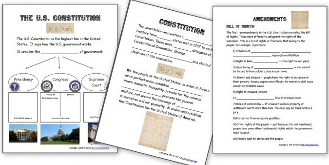
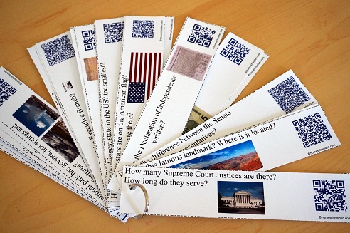
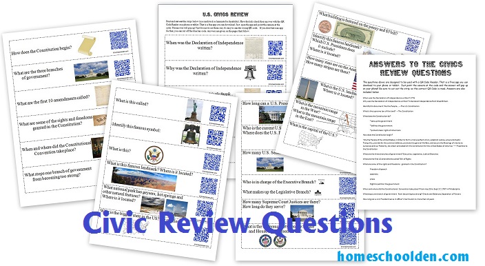
We learned about the 3 branches of government, the role of each branch, the difference between federal, state and local governments, the role of the Cabinet as well as some basic civics facts! 🙂 It is around 40+ pages or so.
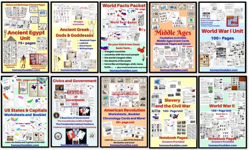
$5.99 Civics and Government Packet 3 branches of government, presidential cabinet, how a bill become a law, basic civics questions, federal vs. state government, taxes and more! Quick Preview or View Post or View Image 1, image 2, image 3, image 4, image 5, image 6
Here are a few of our other packets:
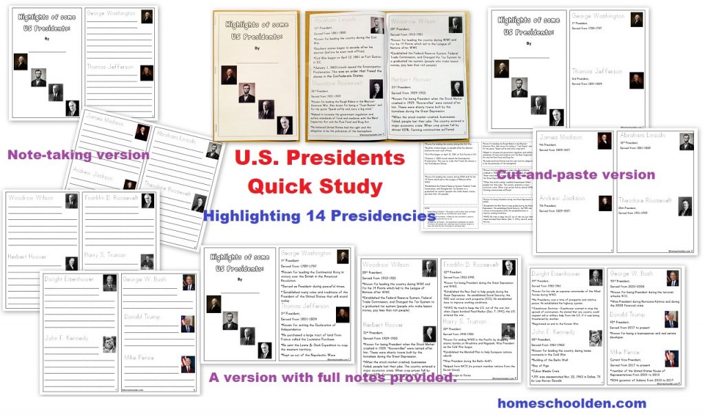
$2.50 U.S. Presidents – Quick Study (A small booklet activity that highlights 14 well-known Presidents) (See more details here)
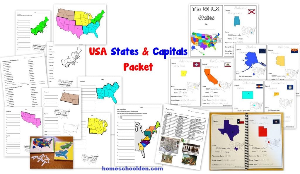
$7.99 U.S. States and Capitals Packet This 100+ page packet helps students learn the U.S. states and capitals. It includes US geography worksheets, a states & capitals booklet, 13 colonies maps and more! Visit Post or View image
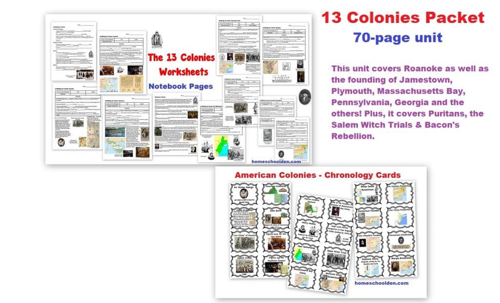
$6.99 13 Colonies Unit – a 70-page unit that covers Roanoke, Jamestown, Plymouth, Massachusetts Bay, Pennsylvania, Georgia and the others. Plus, it explores the Puritans, Salem Witch Trials & Bacon’s Rebellion. Visit Post
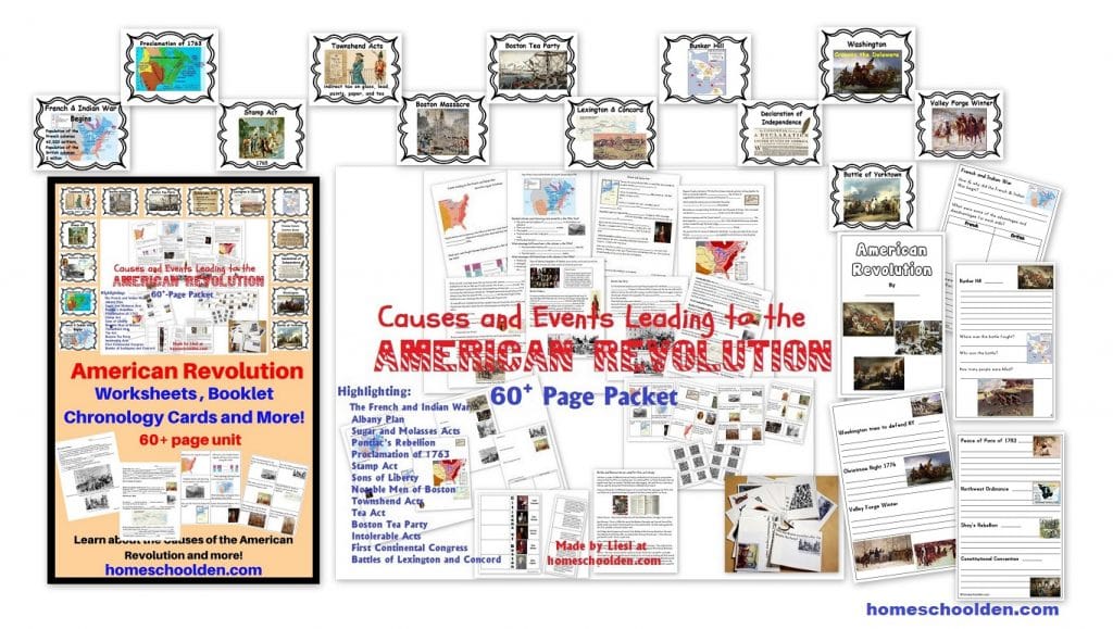
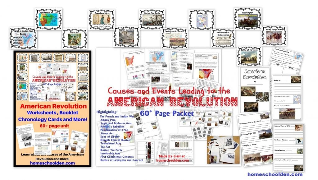
$6.99 Causes of the American Revolution Packet (and American Revolution play) (See more details here)
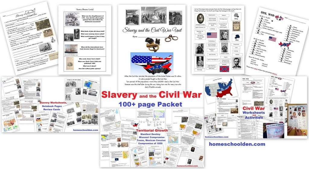
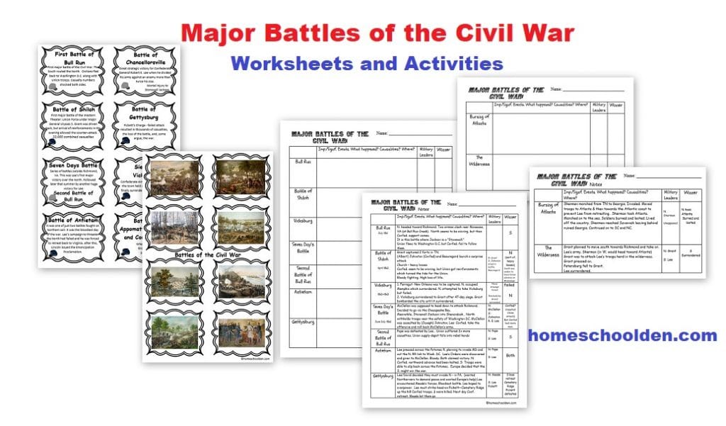
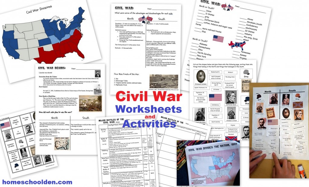
$6.99 Slavery and the Civil War (100 pages – slavery, U.S. territorial expansion, the Civil War) (See more details here) or view image 1, image 2, image 3, image 4, image 5, image 6, image 7, image 8
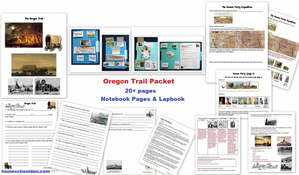
$4.50 Oregon Trail Packet Quick Preview
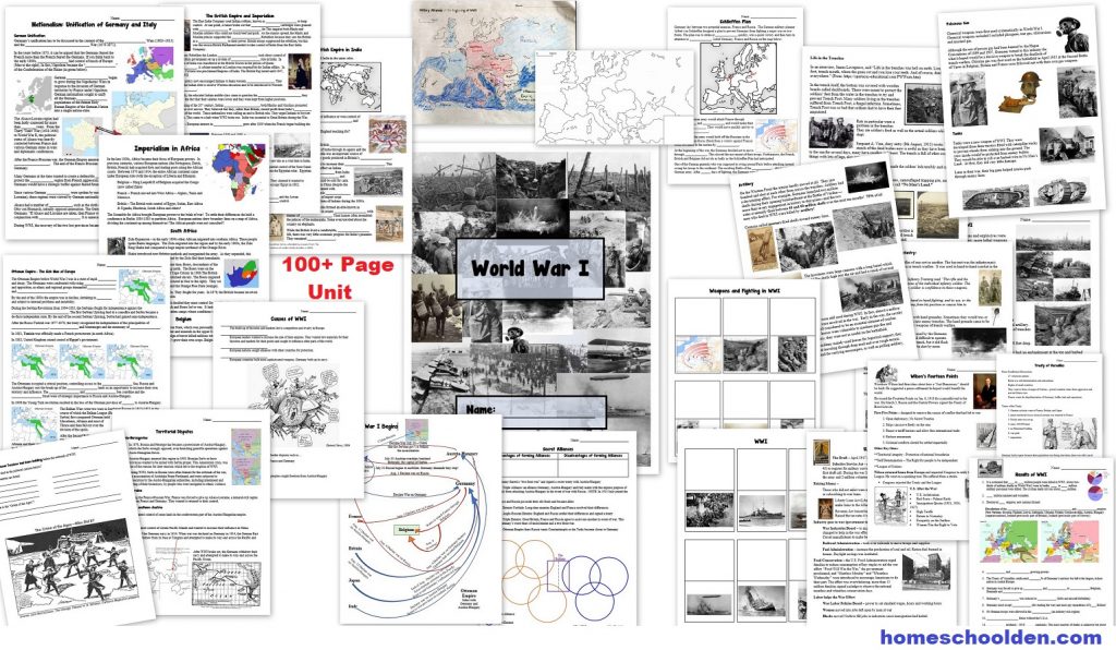
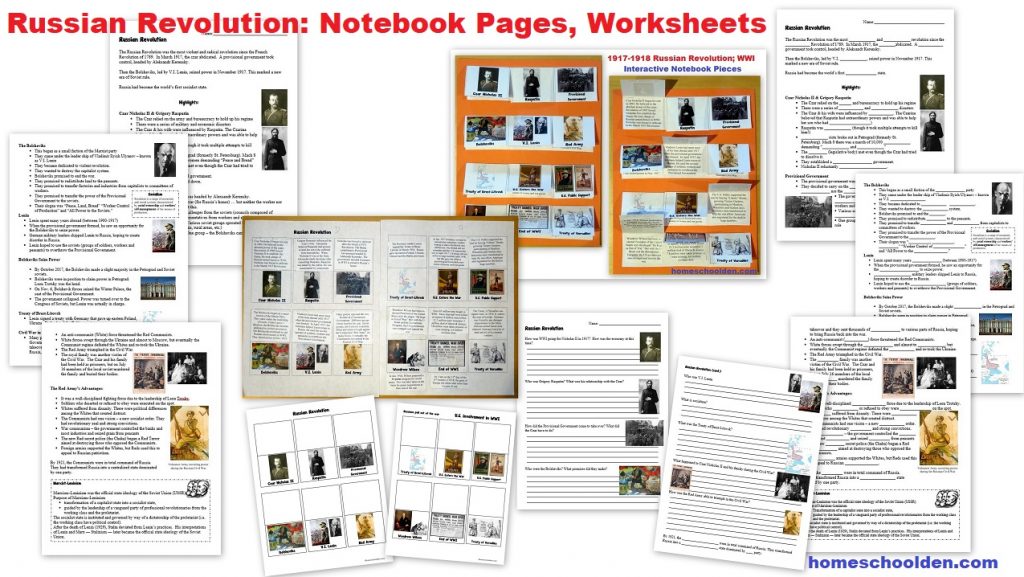
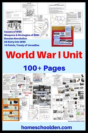
$8.99 World War I Packet 100+ pages (includes material on the Russian Revolution) World War I – Quick Preview or visit the post or view image 1, image 2, image 3, image 4, image 5, image 6, image 7
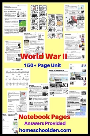
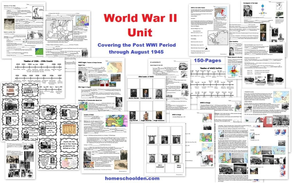
$9.99 World War II Unit (150 pages) from the post WWI period through Aug. 1945. Visit the post for more details. View image 1, image 2, image 3, image 4, image 5, image 6, image 7
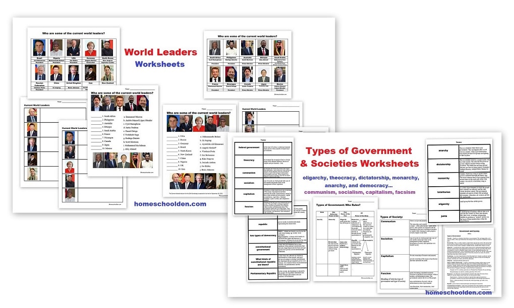
$0.00 Types of Governments & Societies; Current World Leaders Packet (Worksheets on current world leaders, Types of Governments… ie oligarchy, theocracy, dictatorship, monarchy, and democracy plus Types of Societies… ie. communism, socialism, capitalism, fascism.) Visit Post or View Image
Don’t forget to check your PayPal email address for the download link.
We have a number of other history/geography resources on the blog that might be of interest:
- India Learning Packet
- Africa Learning Packet
- Civil Rights Packets
- and much more!
See you again soon here or over at our Homeschool Den Facebook Page! Don’t forget to Subscribe to our Homeschool Den Newsletter. You might also want to check out some of our resources pages above (such as our Science, Language Arts, or History Units Resource Pages) which have links to dozens of posts. You might want to join our free Homeschool Den Chat Facebook group. Don’t forget to check out Our Store as well. ~Liesl
- Earth Science Packet
- Digestive System
- Cell Unit
- Ocean Unit
- American Revolution Packet
- Slavery and the Civil War Packet (75+ pages)
- Multiplication Bundle (175+ pages and 12 pdfs of skip counting activities, games, and colorful, fun math fact worksheets)
Our packets are pdf downloads.
