Geography Activities (UK and Europe)
We’ve been doing some background activities on Sir Isaac Newton since we’re starting a new unit on gizmos, gadgets and simple machines. Newton was from England so we did some geography lessons about the UK, Britain and Europe in general. We talked briefly about the difference between the United Kingdom, Britain and England. Then we brought a map over and the kids cut out their own map of Britain using graham cracker dough (I shared our homemade graham cracker recipe yesterday). Then I made some frosting and the kids colored in Wales, England and Scotland.
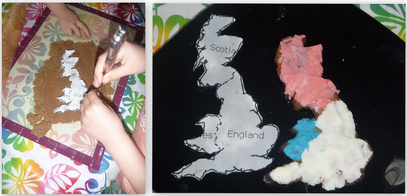
I don’t recommend putting frosting on graham crackers normally, but it worked for this project.
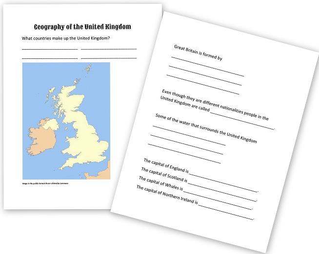
A couple days later the kids filled in a map of the UK and wrote in the countries that make up the United Kingdom (Northern Island, Wales, England and Scotland), Britain (Wales, England and Scotland), the bodies of water that surround the UK and Ireland, and so forth.
Geography of the United Kingdom
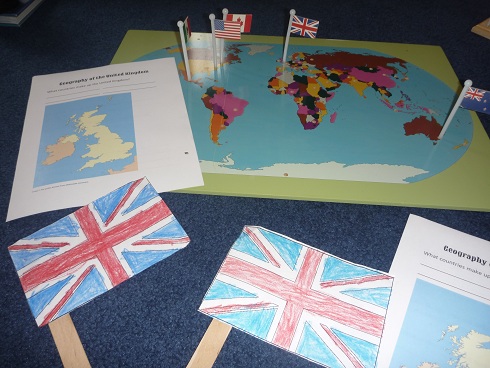
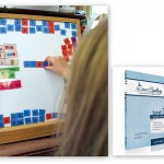
We pulled out our Montessori flag map and identified some of the countries they knew. (My apologies to my Australian friends for the New Zealand map in the picture below! The kids put the map in and I didn’t catch that it was missing the commonwealth star until they were coloring their flags!)
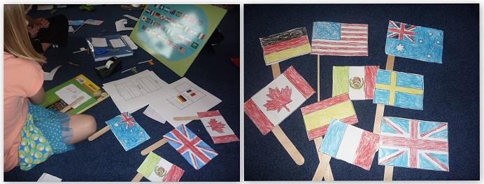
One afternoon I planned some flag coloring during our read aloud time (the kids are often doing something while I read aloud from our current novel). They were so into the flags that they asked for more the next day!


I am glad you mentioned montessori pin map . i got one but i didn’t see it often used on other blogs online . My kids are very interested in this work , they love the flags but i still didn’t find a nice way to make this work independent and not overwhelming for them. i tried to hide all flags and keep only the ones that belong to one continent and work on one continent at a time , but i like to have some control of error for their work . any suggestion . i was thinking since it is a work they enjoy but we don’t do a lot maybe for a first step i should copy you and make individual continent pin maps , so they can focus on the one continent before give them the whole world . do you work on every country of the continent or you pick only few ???any advice regarding this work
viv
oh and the flags coloring pages , could you share a link please .
viv
Hi Viv,
I got the coloring pages from activity village. I saved them to my computer and uploaded them into a word document so there would be two smaller flags per page. As for the Montessori flag pin-map, I agree with you. It’s hard for young kids to use. I only bring it out with five or six flags, but without country names on the flags even *I* have trouble with it! 🙂 That’s why I’ve always made my own pin maps that use both the flag and the country name. When we do use the wooden map, I always sit closely with them and we put them in together. It’s not an activity my kids can do independently, but it sure did work well while coloring the flags as they did in this activity the other day.