Europe – Countries and Flag Maps Free Printable
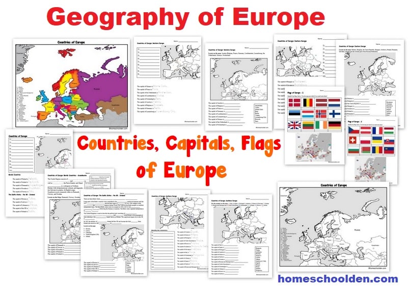
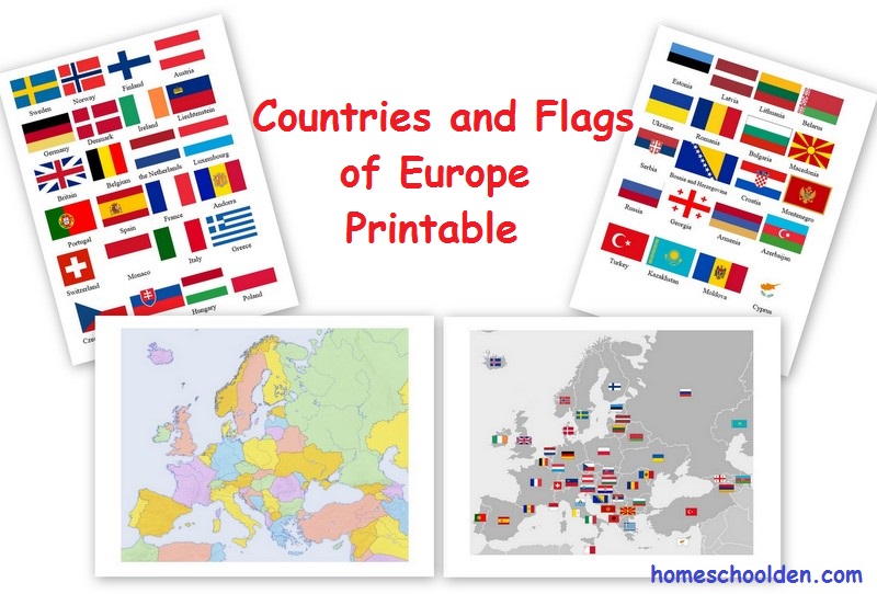
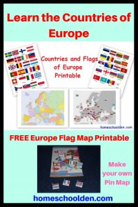
This is a free printable map of the European countries and their flags.
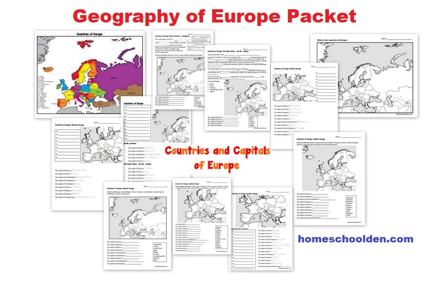
We are talking about the countries of Europe at the moment and I thought the flags would be a fun way for the kids to review what they’ve learned so far. I’ve included a couple of different blank maps of Europe.
You can print the maps in either portrait or landscape. Both are available in this PDF. This is free to download! Hope someone can use it! 🙂 ~Liesl
FREE Printable Europe Map: Countries and Flags
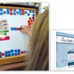
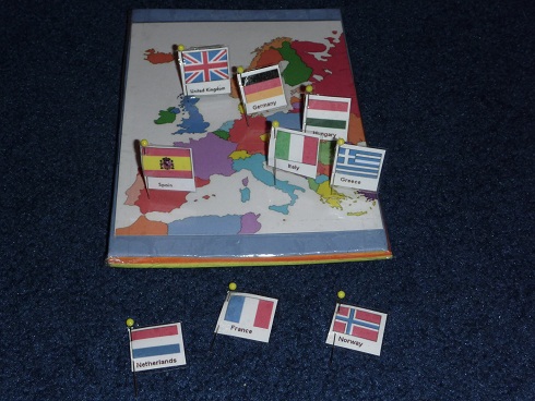
We used thick card board (on the bottom) with layers of foam. We laminated the map of Europe and used contact paper and clear packing tape to bind it all together. (Here’s more detail at this post: How to Make a Pin Map of Europe)
Are you looking for other fun geography ideas? Don’t miss this post Hands-On Geography Activities for 4 to 10 year olds. These are some of the geography projects we’ve done over the years.
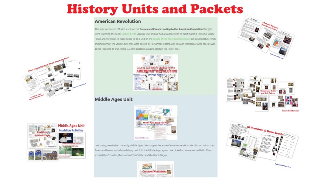
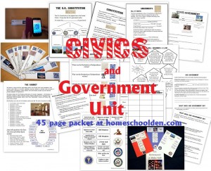
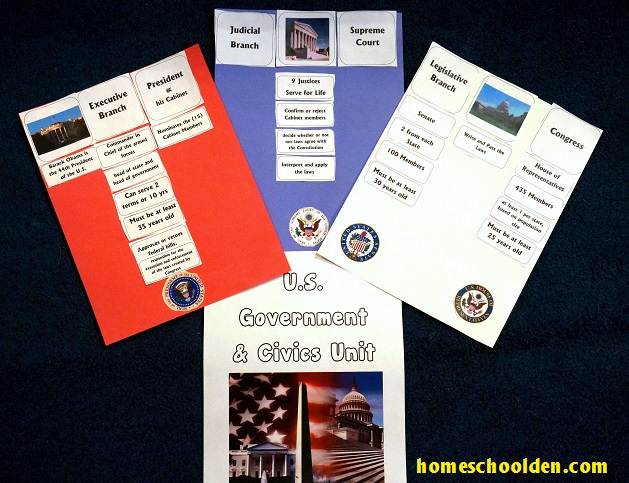
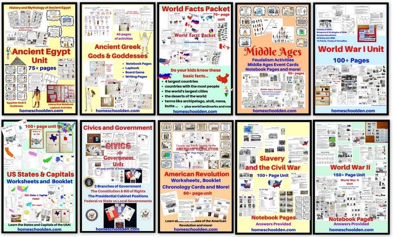
History Units and Packets: The history tab above has a list of all of our various units and packets… including units on the American Revolution, the Civil Rights Movement, Civics and Government, the Middle Ages, the Renaissance & Reformation, India, Africa, and much more! Our free world religions notebook pages are always popular too. 🙂 Again, you’ll find links to all of those (and more) here or by following the history tab above:
You might be interested in these related posts:
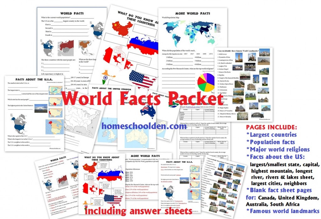
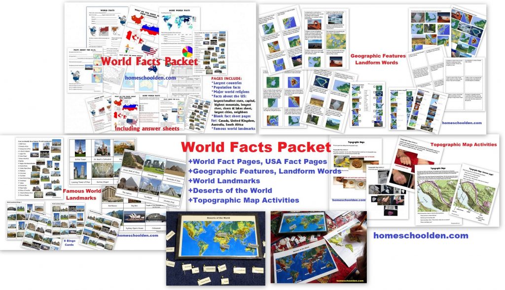
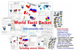
- World Facts Packet: Do your kids know the 4 largest countries? Which countries have the most people? The longest river? This packet covers basic world and U.S. facts.
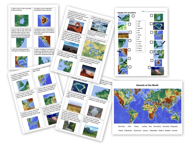
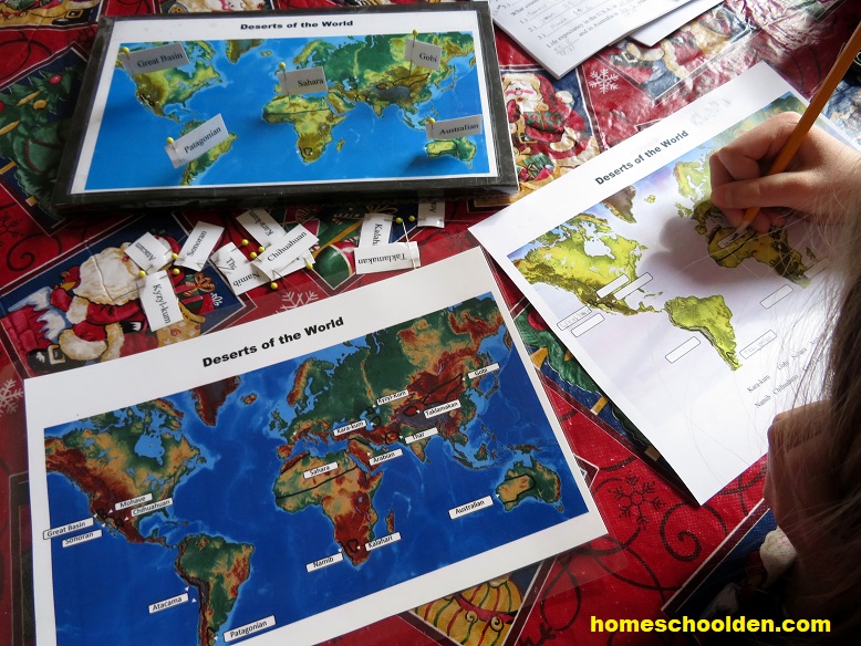
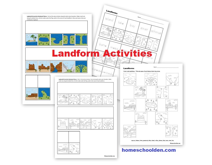
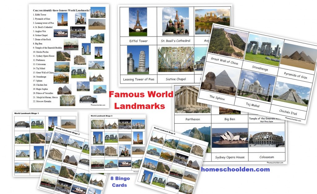
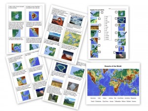
Plus, also in the World Facts Packet is a new section on Geographic Features and Land Forms. Plus, we also studied the deserts of the world as well as famous world landmarks! These are all included in the World Facts Packet is now over 70+ pages!!
Famous World Landmark: Montessori Cards, Worksheet, Bingo Cards
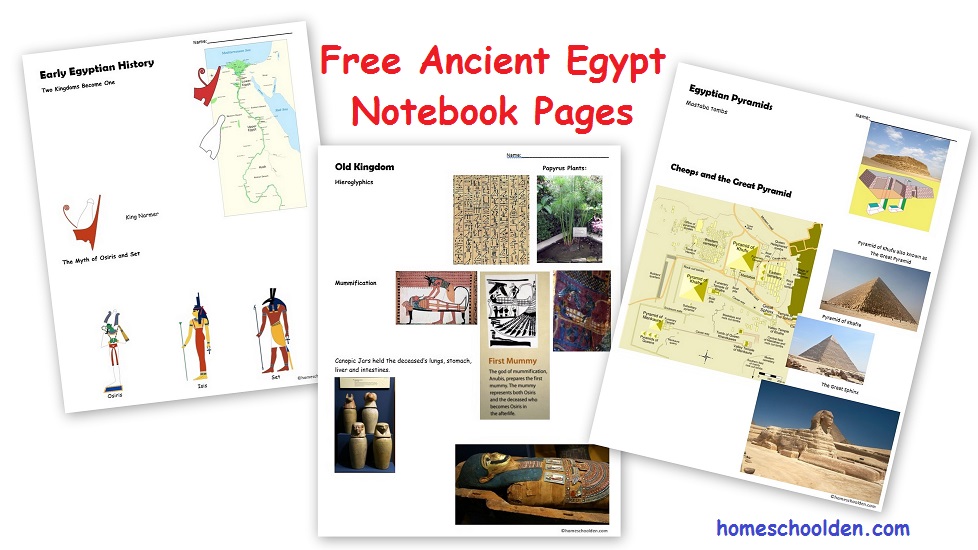
- Posts about the Ancient World: Egypt, Greece, Rome, etc.
See you again soon here or over at our Homeschool Den Facebook Page! You might also want to check out some of our resources pages above (such as our Science, Language Arts, or History Units Resource Pages) which have links to dozens of posts. You might want to join our free Homeschool Den Chat Facebook group. Don’t forget to check out Our Store as well.
Again, you can click here to Subscribe to our Homeschool Den Newsletter!
