Geography Activities for 4-6 year olds
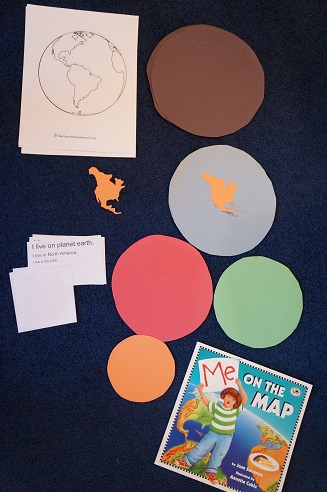
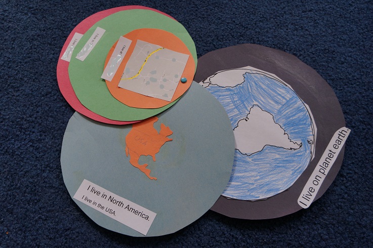
Last Thursday I talked about using the Montessori landmark cards, but I didn’t think to talk about ED’s other geography activities. After reading through Me on the Map (which is just perfect for the 4-6 year old crowd), I had ED do an activity we had done a year and a half ago or so. You have the kids color in and paste their location, pinpointing their location by going from the largest to the smallest location. For example… I printed out labels for I live on Earth, I live in North America.
- the Earth
- North America
- USA
- Kansas
- Topeka
- 77 Maple Street
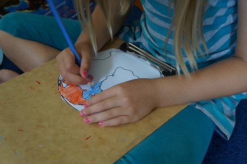
 She colored in the maps and glued them onto the circles with the labels at the bottom:


If you want to print out and make your own Montessori materials, here are the posts where you’ll find those free downloads…
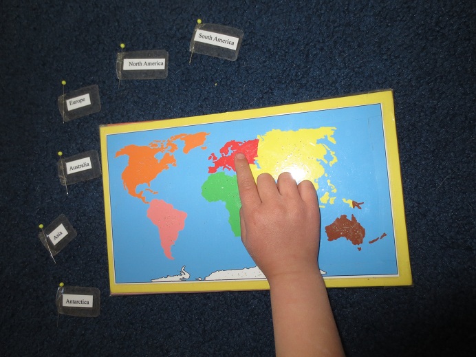
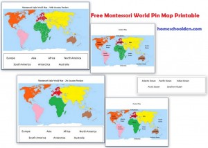
You’ll find the free Montessori World Map here (free to download over at that post) and instructions on how to make a Montessori pin map:
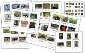
You might want to visit the post about the Animals Around the World. You will find the Montessori cards of animals from each continent at that post:
Yesterday I talked about the free Montessori US landmark cards I made (Grand Canyon, Statue of Liberty, etc.) and how I used them.
You might also be interested in this post: Preschool at Home: Science for 2-5 year old (and up)


1 Response
[…] Where am I? Learn city/town, state, zipcode, area code, country. […]