Territorial Expansion – Manifest Destiny Worksheets
For the past couple of weeks, we have been doing an American History unit on Territorial Expansion. Below you’ll some of the new Territorial Expansion/Manifest Destiny worksheets and notebook pages I created recently.
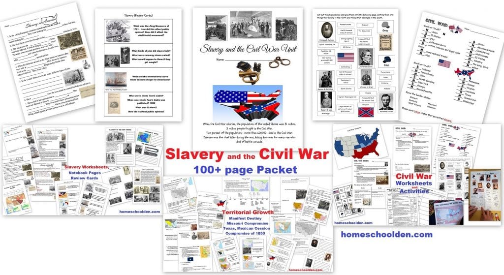
This material is included in our 100-page Slavery & the Civil War Packet. This packet has three sections
- Slavery (pages 4-37)
- Territorial Growth (pages 38-67)
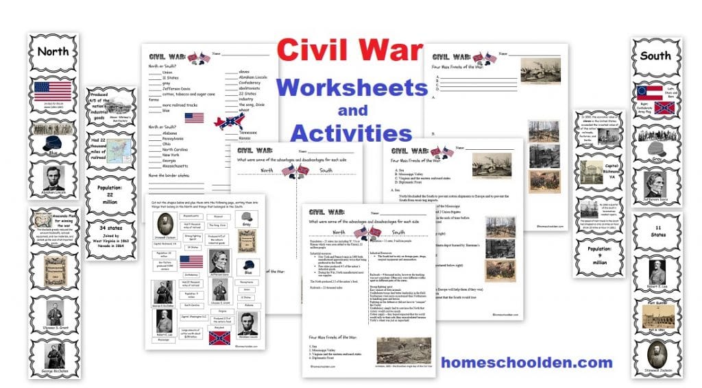
- Civil War – (pages 68-103) including information on popular sovereignty, slave vs. free states as well as causes of the Civil War, major battles and so forth.
Territorial Expansion Worksheets
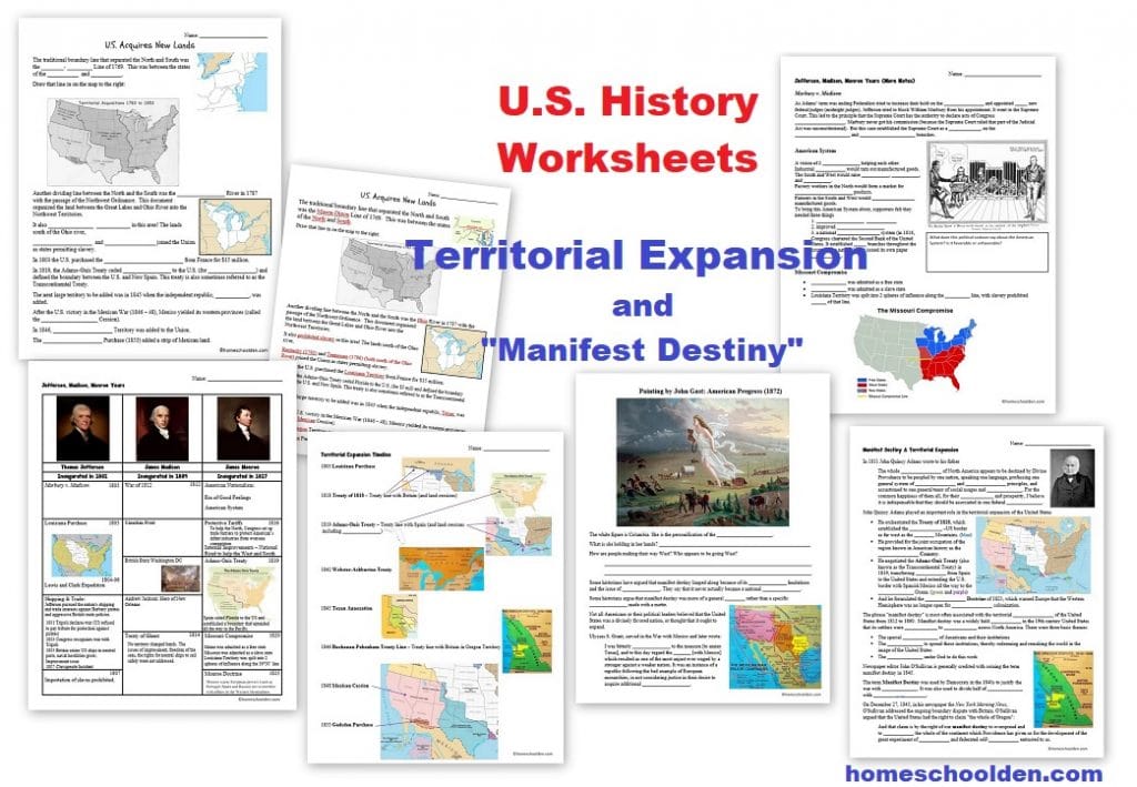 As we started off this unit, we talked about Presidents Jefferson, Madison and Monroe and some of the major events during their presidencies:
- The Louisiana Purchase (from France)
- The War of 1812 (what led to it & what happened during the war)
- The Era of Good Feelings
- The American System (protective tariffs, the National Bank, internal improvements – such as the Cumberland Rd.)
- The Adams-Onis Treaty (Florida was purchased from Spain, which also drew borders out to the Pacific Ocean)
- and the various treaties with Britain, establishing new borders in the north.
We then went on to talk about Texas, the Mexican War, the Mexican Cession and the Gadsden Purchase: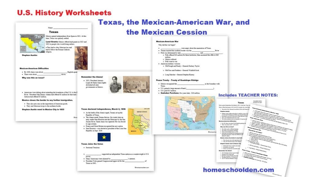
Since there was a lot of territorial changes during this period, I included a lot of map work and map review as you can see from the pictures below!  In fact, we also spent a lot of time on the modern U.S. states and capitals. I explained how we make/use pin maps here in this video
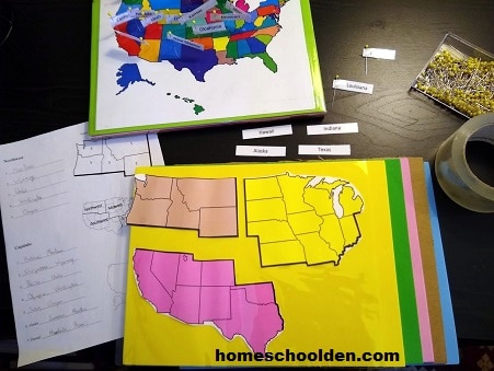 And if you are interested in our U.S. States and Capitals Packet you can visit this post. (I’ll include a picture down below.)
So back to the Territorial Expansion and Manifest Destiny topic!
As I mentioned above, this material is included in our 100-page Slavery & the Civil War Packet.
This packet covers these three main topics:
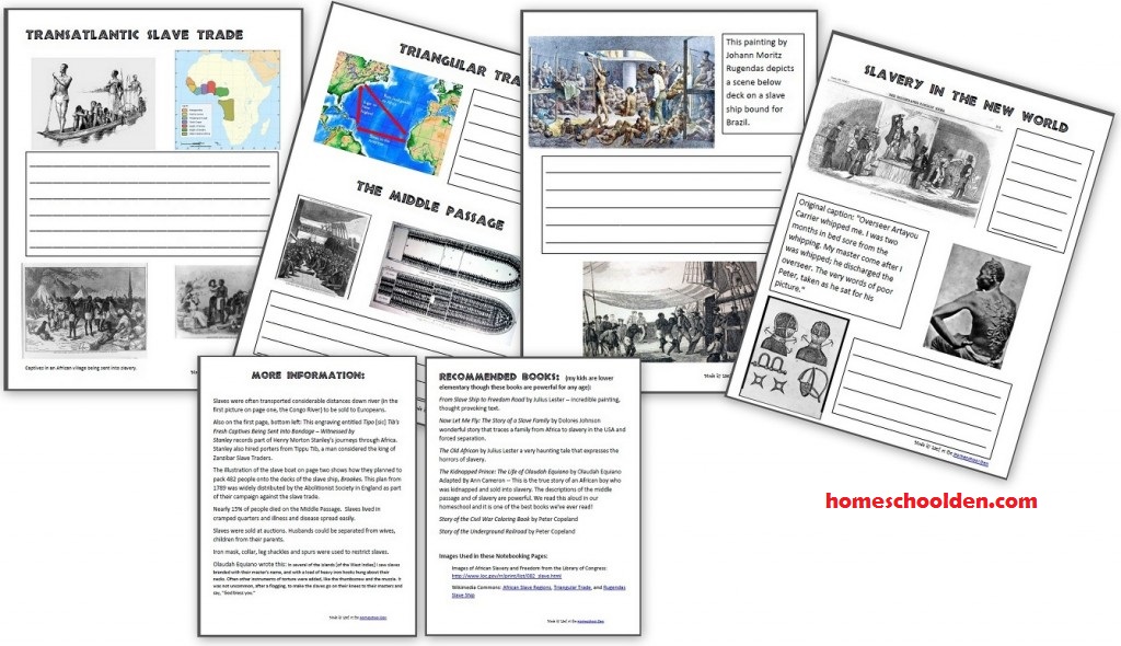
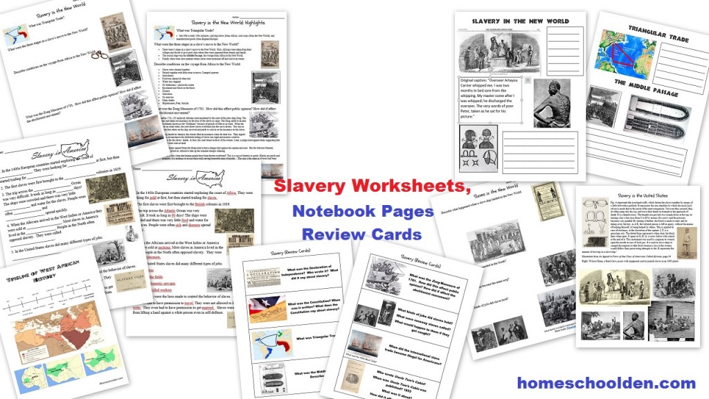
- Slavery – a bit about the history of West Africa, the trans-Atlantic slave trade and the Middle Passage, and slavery in America
- Territorial Growth – As America acquired more territory, the issue of slavery became more divisive. We spent quite a bit of time looking as the slow growth of America — from late 1700s with the Mason-Dixon Line and Northwest Ordinance which banned slavery north of the Ohio River… through the various compromises of the 1800s Missouri Compromise, Compromise of 1850 and the War with Mexico/Mexican Cession
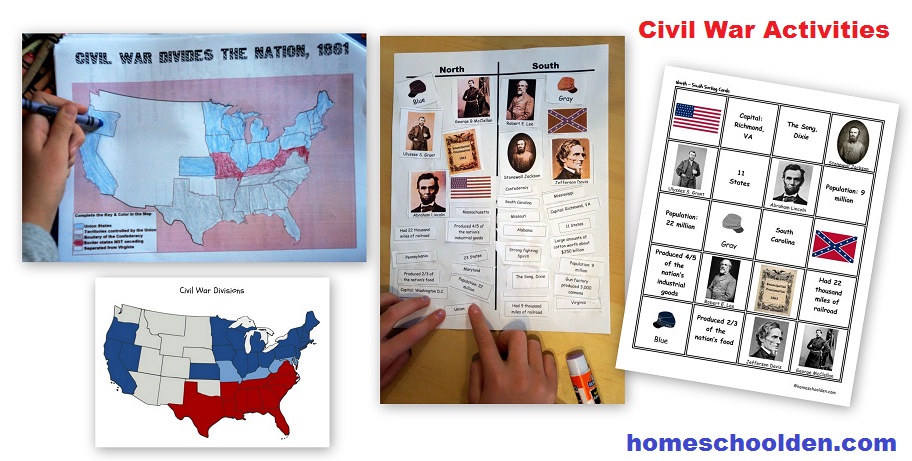
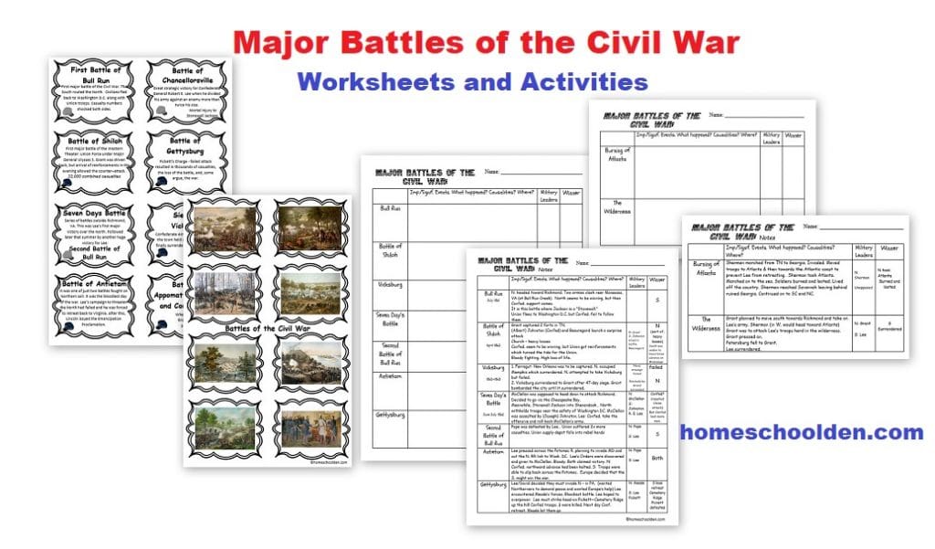
- Civil War – We talked about the difference between the North and South, which states joined the Confederacy, the North and South’s plans for winning the war, some of the major military and political leaders, and learned some of the highlights of the major battles.

The Slavery and Civil War Packet is suitable for upper elementary, middle school or high school students. My kids were ages 8, 11 and 13 when we first did this unit. Now they are 11, 14 and 16. That’s how it is when you homeschool! ![]() (Much of this material I covered with my A.P. American history students when I taught high school, but of course we went through the material much more quickly than I did with my kids.)
(Much of this material I covered with my A.P. American history students when I taught high school, but of course we went through the material much more quickly than I did with my kids.)
The Slavery and the Civil War packet is currently $6.99.
- Slavery (pages 4-37)
- Territorial Growth (pages 38-67)
- Civil War – (pages 68-103) including information on popular sovereignty, slave vs. free states as well as causes of the Civil War, major battles and so forth.
If you have any questions, feel free to contact me! ~Liesl
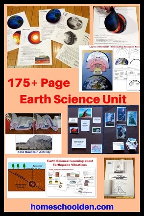
Slavery and the Civil War Packet (100+ pages)
$6.99

Be sure to check your PayPal email address for the download link!
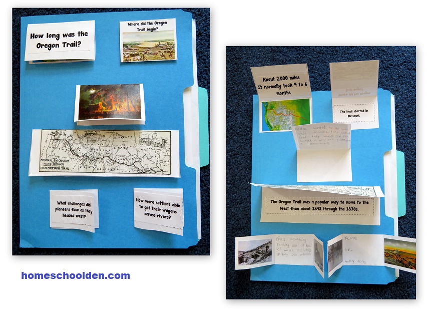
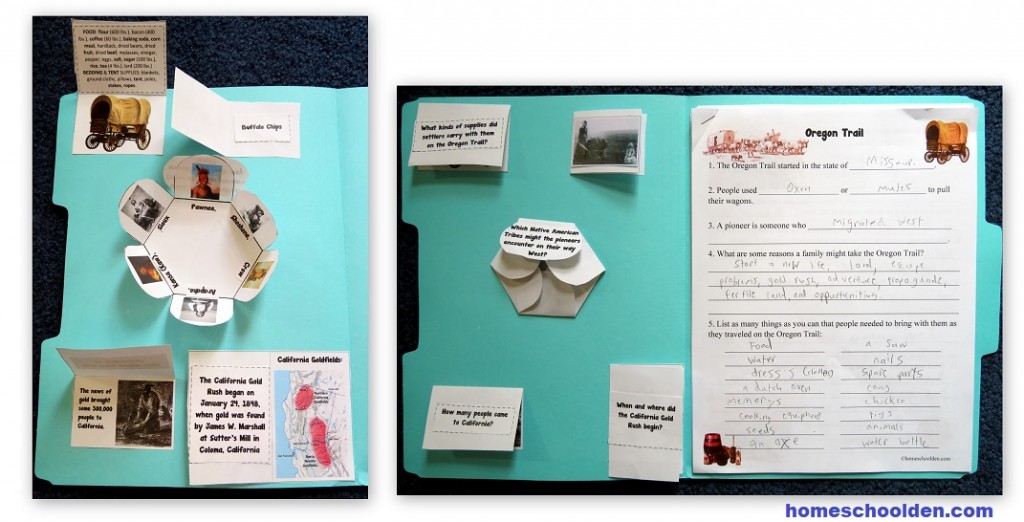
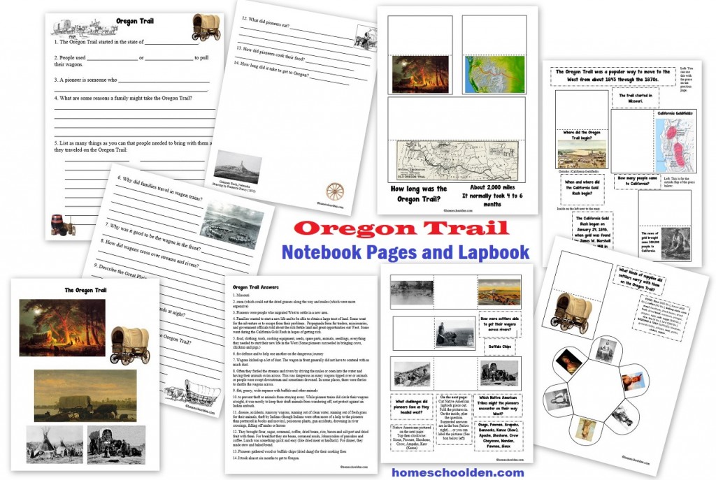
 You might also be interested in our Oregon Trail Packet
You can read more about this packet at this post: Oregon Trail Lapbook and Notebook Pages
![]() $4.50 Oregon Trail Packet
$4.50 Oregon Trail Packet

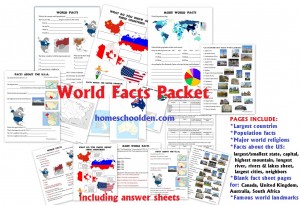
US States and Capital Packet
This 100+ page packet will help your student/s learn the U.S. states and capitals. You can find out more about this US States and Capitals packet here.
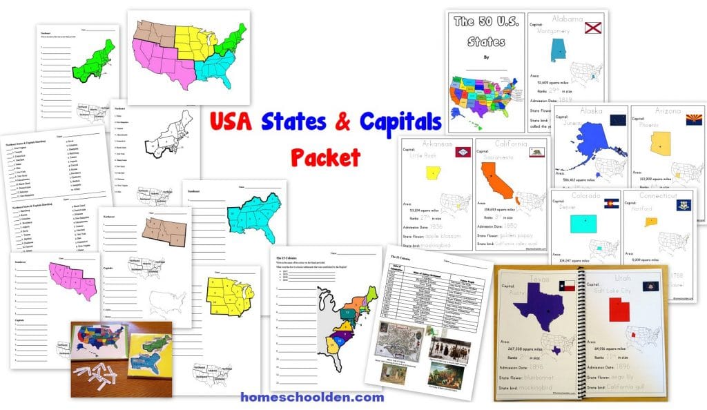
![]() $7.99 U.S. States and Capitals Packet
$7.99 U.S. States and Capitals Packet
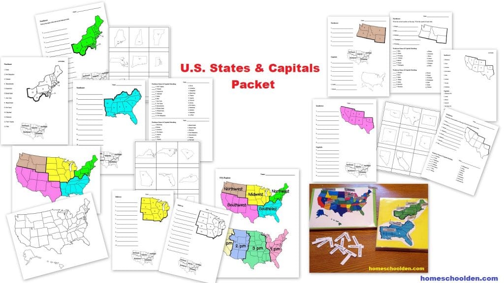
U.S. regions worksheets:
The 50+ pages of geography worksheets are organized by regions:
- Northeast
- Southeast
- Midwest
- Northwest (plus Alaska and Hawaii)
- Southwest
We’ll go over the state’s location and the capitals of the states in those regions just to put things into manageable chunks!
These US geography worksheets include regional maps (in color or black & white), state shapes worksheets, as well as states-capitals matching pages.
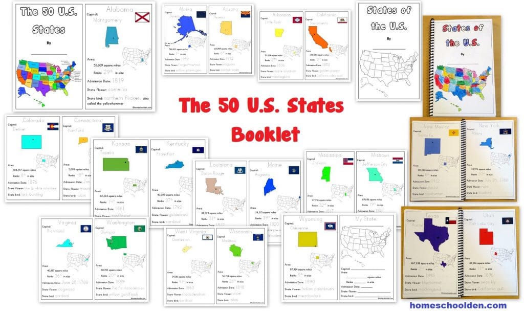
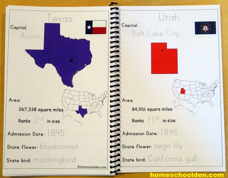
There is also a U.S. States booklet with basic facts about each state including the capital, area, admission date, state flower and state bird.
You can find out more about the US States and Capitals packet here:
See you again soon here or over at our Homeschool Den Facebook Page! You might also want to check out some of our resources pages above (such as our Science, Language Arts, or History Units Resource Pages) which have links to dozens of posts. You might want to join our free Homeschool Den Chat Facebook group. Don’t forget to check out Our Store as well. ![]()

Again, you can click here to Subscribe to our Homeschool Den Newsletter!

Happy Homeschooling, everyone!! ~Liesl