Ancient Greece — Geography Project (part 1)
This project idea was adapted from Ancient Greece!: 40 Hands-On Activities to Experience This Wondrous Age (Kaleidoscope Kids Books). (affiliate link)
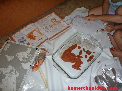
We bought some self-hardening clay and looked at various
maps to make a map of Greece with its many islands.
Obviously Mom had a hand in forming the mainland
areas of Greece and Asia Minor (now Turkey). The kids
did all of the islands.
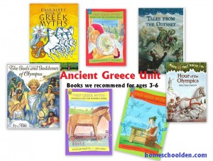
We’ve been reading Mary Pope Osborne’s six-book series
about Odysseus (as well as reading/hearing stories about
the Minotaur, Troy and more). We had quite a long
discussion about Troy (and how archeologists have
found remains of the ancient city they think was Troy).
We also talked about how Odysseus left Troy with his fleet
of 12 ships and sailed to many different islands in the
Aegean Sea (encountering the cyclops, cannibal giants and more!)
- Ancient Greek Unit — Read Aloud Books (The kids were 2, 4 and 6.)
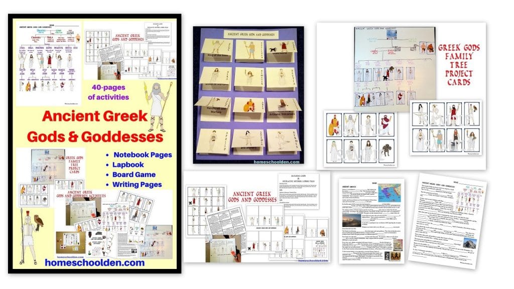
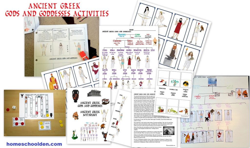
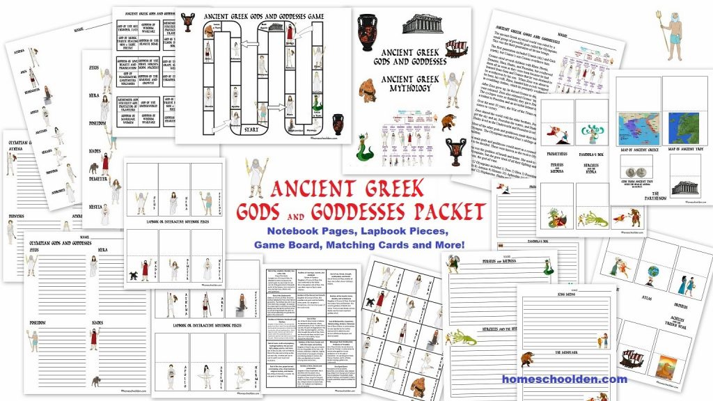
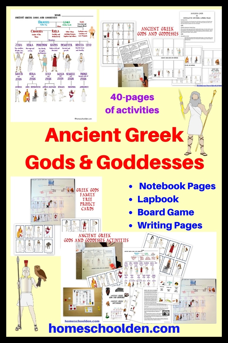
You might also be interested in our packet on the Ancient Greek gods and goddesses! This unit includes the major Olympian gods and touches on some of the famous mythology of Ancient Greece. You’ll find that here: Ancient Greek Gods and Goddesses
















4 Responses
[…] the way, here is an example of a “clay map” mentioned above. This was a clay map we made of ancient Greece and the Mediterranean […]
[…] the way, here is an example of a “clay map” mentioned above. This was a clay map we made of ancient Greece and the Mediterranean […]
[…] of clay, like our Ancient Greece (and Mediterranean Sea) map (Ancient Greece Geography Project, Ancient Greece Geography Project, Part […]
[…] of clay, like our Ancient Greece (and Mediterranean Sea) map (Ancient Greece Geography Project, Ancient Greece Geography Project, Part […]