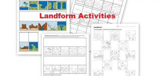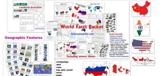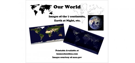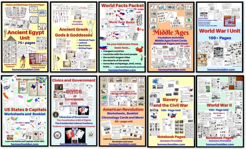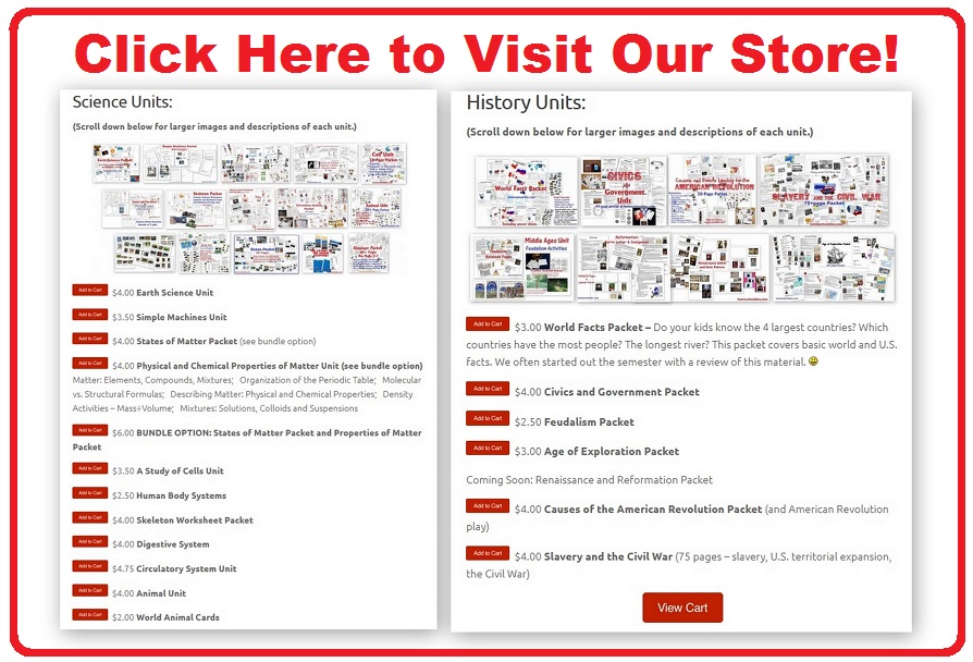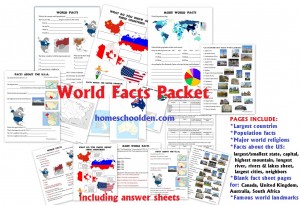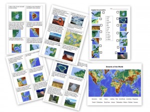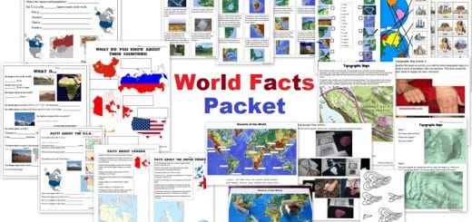
World Facts Packet Update!
I have added more than 25 new pages of World Landmark and Topographic Map Activities to the World Facts Packet! This packet covers many of the basic world facts I wanted my kids to know such as the largest countries, population facts, the major world religions, as well as geography terms such as gulf, bay, atoll, peninsula, cape, estuary, isthmus and so forth. There is a huge section on the...