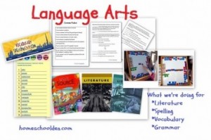
American West Unit: Geography and the Louisiana Purchase
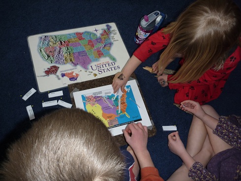
We’ve been using a map that shows the Louisiana Purchase and Lewis and Clark’s expedition route to learn move about American geography. In addition to learning the Fifty States song we’ve been learning the five Great Lakes (the Great Lakes have their H*O*M*E*S* in Canada and the United States… Lakes Huron, Ontario, Michigan, Erie and Superior), a few of the major rivers, and the mountain ranges.
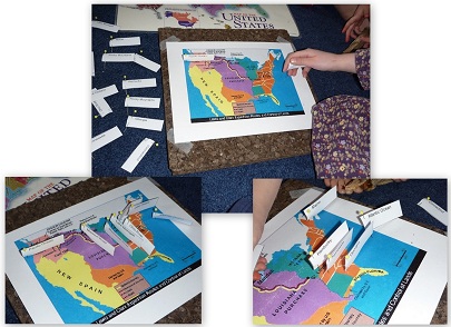
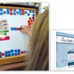
We have been using a pin map to help us learn some of these locations.
While we’ve used pin maps for a long time, I saw this wonderful idea of using a cork board and taping the map on top over at We Don’t Need No Education. It was quick and easy to set this activity up!
If you want to make your own pin map work to go along with your studies of the Louisiana Purchase and Lewis and Clark you can download the labels I made here. I used the National Geographic map of the Lewis and Clark expedition.
Our Move: On another note, next week, the week of Valentine’s Day, our blog will be joining the Parent‘s team over at Parents.com/blog. I’ll have a link from this address to get you there. I hope you’ll check in on us there! We’ve done some great experiments and will be sharing more about our geography, history and preschool activities in the next couple of weeks.