Ancient Greece Geography Project — Aegean Sea (part 2)
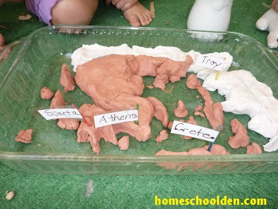
We added labels to our map of ancient Greece. Then we
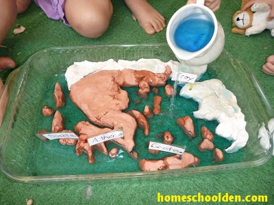
took turns adding deep blue water and making the Aegean Sea!
It was a good lesson on much more than just the
geography of ancient Greece. Some of the islands were
covered by the water. We talked about the fact that
there are mountains under the oceans. We also talked
about the fact that when the levels of the seas drop,
some of those underground hills and mountains would
become islands once more. ED had poured some of her
water on the “land” and we talked about how lakes and
ponds form in the depressions. The kids amaze me with their insights.
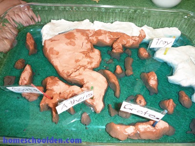
The kids spent quite a bit of time sailing Odysseus’s fleet (little
leaves) around the Aegean!!
We went on to talk about the importance of the seas… and the kids designed their own boats. Check out that post here: Ancient Greece: The Importance of the Seas
Related Posts you May Be Interested In:
- Ancient Greece Geography Project (part 1)
- Ancient Greece: The Importance of the Seas
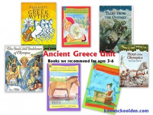
- Ancient Greek Unit — Read Aloud Books (The kids were 2, 4 and 6.)


how cute!! I am a new blogger and because of my love for Santorini (a Greek island) I started my blog, Santorini Greece. Check it out.
how cute!! I am a new blogger and because of my love for Santorini (a Greek island) I started my blog, Santorini Greece. Check it out.